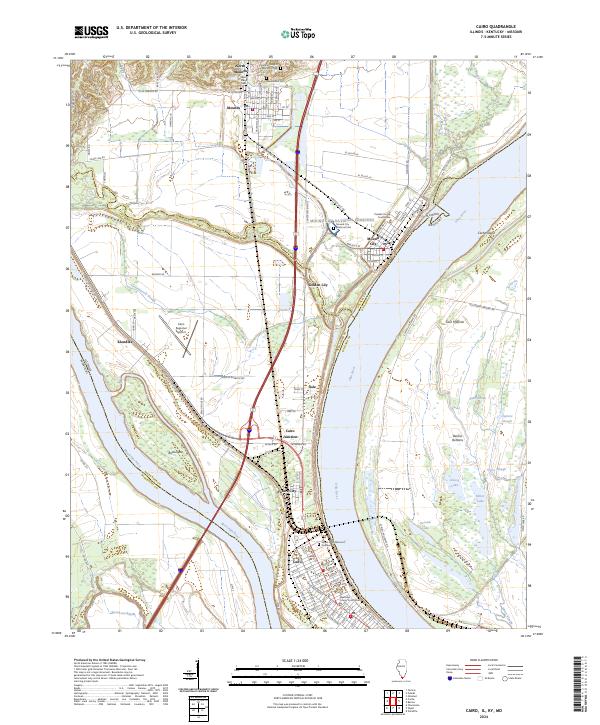
2024 Map of Cairo
USGS Topo · Published 2024About this map
The Mississippi River and Ohio River converge at the southernmost tip of Illinois, creating a unique delta-like landscape defined by intricate waterways and significant civic centers. The city of Cairo serves as the regional anchor, flanked by the Alexander County Courthouse and its own grid of historic streets. To the north, the transition from river bottomlands to higher ground is marked by Mound City, which holds the Pulaski County Courthouse and the expansive Mound City National Cemetery.
Find a feature on this map
128 named features on this map. Tap any name to fly to it.
Don’t see what you’re looking for? This feature index may not catch every label — zoom into the map to look around manually.
Map Details
Editions of this 2024 Cairo Map
This is the sole edition of this map. No revisions or reprints were ever made.
Other maps of this area

1931 · Cairo
USGS Topo · 1:62,500

1933 · Cairo
USGS Topo · 1:62,500

1934 · Thebes
USGS Topo · 1:62,500

1939 · Wickliffe
USGS Topo · 1:62,500

1939 · Charleston
USGS Topo · 1:62,500

1939 · Cairo
USGS Topo · 1:62,500

1939 · Thebes
USGS Topo · 1:62,500

1949 · Paducah
USGS Topo · 1:250,000

1950 · Paducah
USGS Topo · 1:250,000

1951 · Wickliffe
USGS Topo · 1:24,000