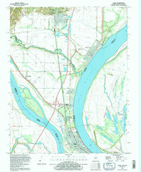
1993 Map of Cairo
USGS Topo · Published 1996About this map
Cairo occupies the critical confluence where the Ohio River meets the Mississippi River, a landscape defined by massive levees and industrial riverfront infrastructure. In the 1990s, this southern tip of Illinois reveals a dense concentration of historical and civic sites, including the Mound City National Cem and the extensive grid of Mound City. The geography here is dominated by the flood-prone Barlow Bottoms and a network of sloughs and lakes like Grassy Lake and Minor Lake that reflect the area's ancient river channels.
Find a feature on this map
43 named features on this map. Tap any name to fly to it.
Don’t see what you’re looking for? This feature index may not catch every label — zoom into the map to look around manually.
Map Details
Editions of this 1993 Cairo Map
This is the sole edition of this map. No revisions or reprints were ever made.
Other maps of this area

1931 · Cairo
USGS Topo · 1:62,500

1933 · Cairo
USGS Topo · 1:62,500

1934 · Thebes
USGS Topo · 1:62,500

1939 · Wickliffe
USGS Topo · 1:62,500

1939 · Charleston
USGS Topo · 1:62,500

1939 · Cairo
USGS Topo · 1:62,500

1939 · Thebes
USGS Topo · 1:62,500

1949 · Paducah
USGS Topo · 1:250,000

1950 · Paducah
USGS Topo · 1:250,000

1951 · Wickliffe
USGS Topo · 1:24,000