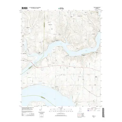
2014 Map of Cairo
USGS Topo · Published 2014About this map
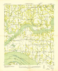
Wheeler Reservoir and the Tennessee River define the southern landscape of this northern Alabama region, where the Elk River flows into the broader reservoir system. The terrain is marked by numerous family-named bluffs and hollows, including Buzzard Roost Bluff and Stinnett Hollow, reflecting a long-established rural settlement pattern along the county lines of Lauderdale and Limestone. Small communities like Coxey, Lentzville, and Dogwood anchor the interior, connected by a network of county roads.
Find a feature on this map
145 named features on this map. Tap any name to fly to it.
Don’t see what you’re looking for? This feature index may not catch every label — zoom into the map to look around manually.
Map Details
Editions of this 2014 Cairo Map
This is the sole edition of this map. No revisions or reprints were ever made.
Other maps of this area

1914 · Rogersville
USGS Topo · 1:48,000

1916 · Rogersville
USGS Topo · 1:62,500
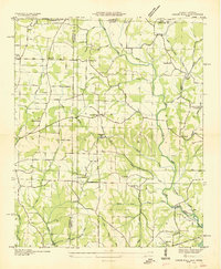
1936 · Union Hill
USGS Topo · 1:24,000
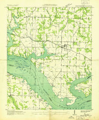
1936 · Thorntontown
USGS Topo · 1:24,000
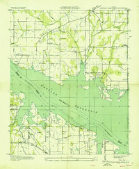
1936 · Stewart Cross Roads
USGS Topo · 1:24,000
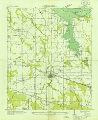
1936 · Courtland
USGS Topo · 1:24,000
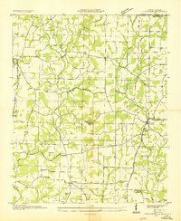
1936 · Lexington
USGS Topo · 1:24,000
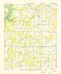
1936 · Ripley
USGS Topo · 1:24,000
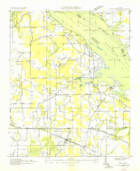
1936 · Hillsboro
USGS Topo · 1:24,000
1936 · Cairo
USGS Topo · 1:24,000