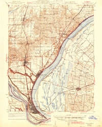
1933 Map of Cairo
USGS Topo · Published 1944About this map
The Ohio River and Mississippi River converge at the tip of the Illinois panhandle, a landscape defined by its strategic position between Kentucky and Missouri. The urban grid of Cairo sits protected at the peninsula's point, while the Illinois Central and Cleveland Cincinnati Chicago and St Louis railroads create a dense industrial corridor northward through Mounds and Mound City.
Find a feature on this map
110 named features on this map. Tap any name to fly to it.
Don’t see what you’re looking for? This feature index may not catch every label — zoom into the map to look around manually.
Map Details
Editions of this 1933 Cairo Map
3 editions found
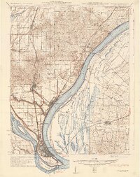
Other maps of this area

1918 · Vienna
USGS Topo · 1:62,500

1919 · Vienna
USGS Topo · 1:62,500

1920 · Jonesboro
USGS Topo · 1:62,500

1920 · Dongola
USGS Topo · 1:62,500

1923 · Dongola
USGS Topo · 1:62,500

1923 · Jonesboro
USGS Topo · 1:62,500

1928 · La Center
USGS Topo · 1:62,500

1931 · Cairo
USGS Topo · 1:62,500

1932 · La Center
USGS Topo · 1:62,500

1933 · Cairo
USGS Topo · 1:62,500