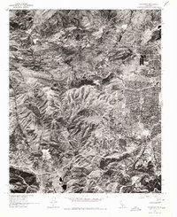
1976 Map of Calabasas
USGS Topo · Published 1980About this map
Agoura and the developing foothills of the Santa Monica Mountains define this 1976 orthophotographic study, produced in cooperation with the Forest Service. Unlike standard topographic sheets, this imagery records the literal ground cover and suburban expansion as it existed during the mid-seventies, capturing the exact footprint of residential tracts as they began to push into the canyons. The course of Las Virgenes Creek provides a natural baseline for the area's geography, winding through the valley floor toward the coast. Higher elevation points such as Burro and the enclave of Lakeside Park stand as markers between the rugged undeveloped slopes and the rapidly thickening grid of modern housing developments. This specific view offers researchers a rare visual census of land use just before the significant growth of the late twentieth century transformed these rural outskirts into the established communities seen today.
Find a feature on this map
4 named features on this map. Tap any name to fly to it.
Don’t see what you’re looking for? This feature index may not catch every label — zoom into the map to look around manually.
Map Details
Editions of this 1976 Calabasas Map
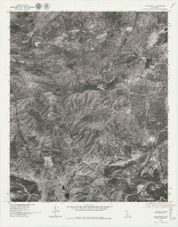
2 editions found
Other maps of this area

1900 · Triunfo Pass
USGS Topo · 1:62,500

1900 · Piru
USGS Topo · 1:62,500

1903 · Calabasas
USGS Topo · 1:62,500

1903 · Camulos
USGS Topo · 1:125,000

1903 · Santa Susana
USGS Topo · 1:62,500

1921 · Piru
USGS Topo · 1:62,500

1921 · Triunfo Pass
USGS Topo · 1:62,500

1925 · Chatsworth
USGS Topo · 1:24,000

1927 · Chatsworth
USGS Topo · 1:24,000

1928 · Dry Canyon
USGS Topo · 1:24,000