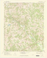
1969 Map of Calahaln
USGS Topo · Published 1972About this map
Hunting Creek meanders through the central landscape of this western Davie County region, defining a rural topography of small farming communities and country crossroads. This 1969 field-checked survey reveals a high concentration of community centers anchored by local churches, such as New Union Ch and St Matthews Ch, which served as the social fabric for scattered homesteads. The terrain transitions from the rolling uplands near Sheffield down toward the southern boundary at the Yadkin River. Significant local landmarks like the Lookout Tower and bodies of water such as Lake Myers and Skyview Lake illustrate how the natural landscape was adapted for both utility and recreation. The border between Iredell Co and Davie Co bisects the western half of the map, providing a precise look at property and political lines as they existed in the late 1960s.
Find a feature on this map
25 named features on this map. Tap any name to fly to it.
Don’t see what you’re looking for? This feature index may not catch every label — zoom into the map to look around manually.
Map Details
Editions of this 1969 Calahaln Map
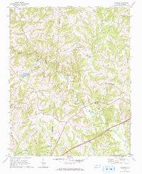
2 editions found
Other maps of this area

1891 · Yadkinville
USGS Topo · 1:125,000

1893 · Statesville
USGS Topo · 1:125,000

1893 · Yadkinville
USGS Topo · 1:125,000

1953 · Charlotte
USGS Topo · 1:250,000

1953 · Winston-Salem
USGS Topo · 1:250,000

1954 · Charlotte
USGS Topo · 1:250,000

1955 · Winston-Salem
USGS Topo · 1:250,000

1960 · Charlotte
USGS Topo · 1:250,000

1962 · Winston-Salem
USGS Topo · 1:250,000

1962 · Charlotte
USGS Topo · 1:250,000