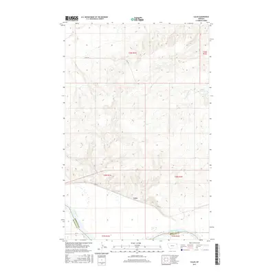
2017 Map of Calais
USGS Topo · Published 2017About this map
Missouri River bottomlands define the southern edge of this territory, where the boundary between Roosevelt Co and Richland Co follows the shifting course of the water. The small settlement of Calais sits just north of the river, positioned along the corridor of BIA Rte 1. Moving north from the river valley, the terrain is cut by several drainage systems, including Box Elder Cr, Lake Cr, and Lone Tree Cr. This landscape reflects the rural infrastructure of the Brockton District, with the Bertino Reservoir providing a localized water source amidst the rolling high plains. The map details the Public Land Survey System grid, showing the township and range divisions like t28n r53e that organized the region's ranching and agricultural development.
Find a feature on this map
16 named features on this map. Tap any name to fly to it.
Don’t see what you’re looking for? This feature index may not catch every label — zoom into the map to look around manually.
Map Details
Editions of this 2017 Calais Map
This is the sole edition of this map. No revisions or reprints were ever made.
Other maps of this area

1909 · Smoke Creek
USGS Topo · 1:62,500

1912 · Smoke Creek
USGS Topo · 1:62,500

1914 · Brockton
USGS Topo · 1:62,500

1914 · Homestead
USGS Topo · 1:62,500

1947 · Rocky Point
USGS Topo · 1:24,000

1948 · Rocky Point
USGS Topo · 1:24,000

1948 · Fort Kipp
USGS Topo · 1:24,000

1949 · Fort Kipp
USGS Topo · 1:24,000

1950 · Coyote Coulee
USGS Topo · 1:24,000

1950 · Calais
USGS Topo · 1:24,000
Featured Places
- Brockton District, MT
- Fort Kipp District, MT
- Calais, Fort Kipp District
- Roosevelt County, MT
- Richland County, MT