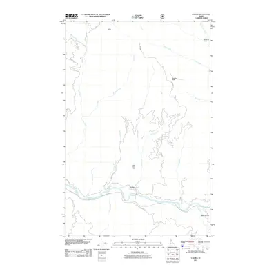
2011 Map of Calder
USGS Topo · Published 2011About this map
The Saint Joe River serves as the primary corridor for movement and settlement through this Shoshone County landscape. The community of Calder is positioned along the river's northern bank, where local routes like North Side Rd and Mica Creek Rd follow the water's edge and the canyon floor. The surrounding terrain is defined by steep ridges and distinctively named peaks, including Spooky Butte to the east and the central heights of Billy Goat Hill.
Find a feature on this map
33 named features on this map. Tap any name to fly to it.
Don’t see what you’re looking for? This feature index may not catch every label — zoom into the map to look around manually.
Map Details
Editions of this 2011 Calder Map
This is the sole edition of this map. No revisions or reprints were ever made.
Other maps of this area

1950 · Twin Crags
USGS Topo · 1:24,000

1952 · Twin Crags
USGS Topo · 1:24,000

1955 · Spokane
USGS Topo · 1:250,000

1957 · Calder
USGS Topo · 1:62,500

1957 · St. Joe
USGS Topo · 1:62,500

1958 · Spokane
USGS Topo · 1:250,000

1961 · Fernwood
USGS Topo · 1:62,500

1969 · Marble Mountain
USGS Topo · 1:24,000

1969 · Huckleberry Mtn
USGS Topo · 1:24,000

1981 · St Maries
USGS Topo · 1:100,000