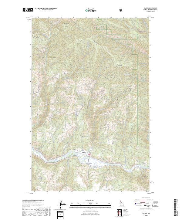
2024 Map of Calder
USGS Topo · Published 2024About this map
The Saint Joe River valley serves as the primary corridor for settlement and transit in this portion of the St Joe National Forest. The small community of Calder sits at the river's edge, positioned where Bear Creek and Jack Creek meet the main flow. Steep, drainage-heavy terrain rises sharply from the water, marked by distinctive high points such as Spooky Butte and Billy Goat Hill in the St Joe Mountains. The area's geography is defined by its extensive network of mountain streams, including Trout Creek, Mica Creek, and Moose Creek, which carve deep valleys through the forest. Transportation is concentrated along the riverbanks via St Joe River Rd and Potlatch Rd, while high-elevation access is provided by primitive routes like Lemonade Peak Rd, illustrating the challenges of navigating this vertical landscape.
Find a feature on this map
42 named features on this map. Tap any name to fly to it.
Don’t see what you’re looking for? This feature index may not catch every label — zoom into the map to look around manually.
Map Details
Editions of this 2024 Calder Map
This is the sole edition of this map. No revisions or reprints were ever made.
Other maps of this area

1950 · Twin Crags
USGS Topo · 1:24,000

1952 · Twin Crags
USGS Topo · 1:24,000

1955 · Spokane
USGS Topo · 1:250,000

1957 · Calder
USGS Topo · 1:62,500

1957 · St. Joe
USGS Topo · 1:62,500

1958 · Spokane
USGS Topo · 1:250,000

1961 · Fernwood
USGS Topo · 1:62,500

1969 · Marble Mountain
USGS Topo · 1:24,000

1969 · Huckleberry Mtn
USGS Topo · 1:24,000

1981 · St Maries
USGS Topo · 1:100,000