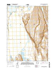
2014 Map of Calderwood Reservoir
USGS Topo · Published 2014About this map
Warner Valley water systems and high desert terrain dominate this 2014 survey of Lake County. The landscape is defined by extensive water management features, most notably the Calderwood Reservoir and the expansive Greaser Reservoir complex to the south. These catchments, along with Crump Lake and Fisher Lake, reflect the critical nature of water storage in this arid region of southeastern Oregon.
Find a feature on this map
28 named features on this map. Tap any name to fly to it.
Don’t see what you’re looking for? This feature index may not catch every label — zoom into the map to look around manually.
Map Details
Editions of this 2014 Calderwood Reservoir Map
This is the sole edition of this map. No revisions or reprints were ever made.
Other maps of this area

1955 · Adel
USGS Topo · 1:250,000

1957 · Adel
USGS Topo · 1:250,000

1958 · Adel
USGS Topo · 1:250,000

1962 · Adel
USGS Topo · 1:250,000

1967 · Jacobs Reservoir
USGS Topo · 1:24,000

1967 · Priday Reservoir
USGS Topo · 1:24,000

1967 · Crump Lake
USGS Topo · 1:24,000
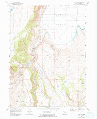
1968 · May Lake
USGS Topo · 1:24,000
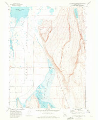
1968 · Calderwood Reservoir
USGS Topo · 1:24,000
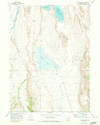
1968 · Coleman Lake
USGS Topo · 1:24,000