
1967 Map of Crump Lake
USGS Topo · Published 1970About this map
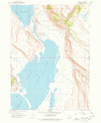
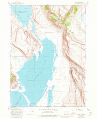
Hart Mountain National Antelope Refuge dominates the eastern high desert landscape of this 1967 survey, where the dramatic fault-block topography of Hart Mountain drops sharply into the Warner Valley. The map documents a complex hydrological system of the Warner Lakes, specifically the connection between Hart Lake and Crump Lake via a slender channel known as The Narrows. At the base of the mountain range, isolated water sources like Hot Springs and various unnamed Springs provide critical points of interest for those studying the arid basin-and-range environment. The presence of a Pack Trail winding through Fisher Canyon and Riffle Canyon suggests the traditional routes used to navigate this steep, uneven terrain before more modern access was established. Smaller features such as Fisher Lake, Wool Lake, and the expansive Alkali Flat further define the varied surface conditions of the valley floor.
Find a feature on this map
20 named features on this map. Tap any name to fly to it.
Don’t see what you’re looking for? This feature index may not catch every label — zoom into the map to look around manually.
Map Details
Editions of this 1967 Crump Lake Map
3 editions found
Other maps of this area

1955 · Adel
USGS Topo · 1:250,000

1957 · Adel
USGS Topo · 1:250,000

1958 · Adel
USGS Topo · 1:250,000

1962 · Adel
USGS Topo · 1:250,000

1967 · Jacobs Reservoir
USGS Topo · 1:24,000

1967 · Plush
USGS Topo · 1:24,000

1967 · Priday Reservoir
USGS Topo · 1:24,000

1967 · Hart Lake
USGS Topo · 1:24,000

1967 · Warner Peak
USGS Topo · 1:24,000
1968 · Calderwood Reservoir
USGS Topo · 1:24,000