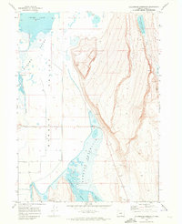
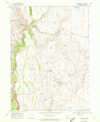
1968 Map of Calderwood Reservoir
USGS Topo · Published 1972About this map
Warner Valley dominates this high-desert landscape in Lake County, where complex hydrological systems define the land's utility and character. The 1968 field-check captures a series of managed water bodies, including Crump Lake and the engineered Calderwood Reservoir, which sits at an elevation of 4,733 feet. These features, alongside Greaser Reservoir and its associated spillway, reveal the efforts to control and redirect water across the arid basin.
Find a feature on this map
23 named features on this map. Tap any name to fly to it.
Don’t see what you’re looking for? This feature index may not catch every label — zoom into the map to look around manually.
Map Details
Editions of this 1968 Calderwood Reservoir Map
2 editions found
Other maps of this area

1955 · Adel
USGS Topo · 1:250,000

1957 · Adel
USGS Topo · 1:250,000

1958 · Adel
USGS Topo · 1:250,000

1962 · Adel
USGS Topo · 1:250,000

1967 · Jacobs Reservoir
USGS Topo · 1:24,000

1967 · Priday Reservoir
USGS Topo · 1:24,000

1967 · Crump Lake
USGS Topo · 1:24,000
1968 · May Lake
USGS Topo · 1:24,000
1968 · Coleman Lake
USGS Topo · 1:24,000
1968 · Blizzard Gap
USGS Topo · 1:24,000