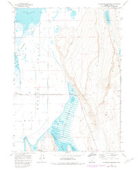
1968 Map of Calderwood Reservoir
USGS Topo · Published 1980About this map
The Warner Valley high desert of Lake County is defined here by its complex water systems and dramatic elevation changes. Water management is central to the landscape, with the sprawling Greaser Reservoir and its spillway dominating the central basin. Further north, the expansive Warner Lakes network includes Crump Lake and Pelican Lake, while Calderwood Reservoir sits significantly higher to the northeast along Fish Creek.
Find a feature on this map
30 named features on this map. Tap any name to fly to it.
Don’t see what you’re looking for? This feature index may not catch every label — zoom into the map to look around manually.
Map Details
Editions of this 1968 Calderwood Reservoir Map
2 editions found
Other maps of this area

1955 · Adel
USGS Topo · 1:250,000

1957 · Adel
USGS Topo · 1:250,000

1958 · Adel
USGS Topo · 1:250,000

1962 · Adel
USGS Topo · 1:250,000

1967 · Jacobs Reservoir
USGS Topo · 1:24,000

1967 · Priday Reservoir
USGS Topo · 1:24,000

1967 · Crump Lake
USGS Topo · 1:24,000
1968 · May Lake
USGS Topo · 1:24,000
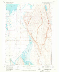
1968 · Calderwood Reservoir
USGS Topo · 1:24,000
1968 · Coleman Lake
USGS Topo · 1:24,000