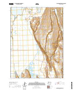
2020 Map of Calderwood Reservoir
USGS Topo · Published 2020About this map
Warner Valley defines this high-desert basin in Lake County, where water management and seasonal hydrology dictate the character of the landscape. The western half of the map is dominated by the sprawling wetlands and intermittent waters of the valley floor, including the southern reaches of Crump Lake and the northern edge of Greaser Lake. These shallow water bodies are central to the region's geography, providing a sharp contrast to the steep, rising terrain to the east. Calderwood Reservoir and Greaser Reservoir anchor the hydraulic network, while smaller features like Fisher Lake and Fish Lake are tucked into the higher elevations. The remote nature of this area is reflected in its limited infrastructure, primarily represented by Co Hwy 3-15 and Fish Cr, making it a clear study in the vast, open-range topography typical of the Oregon outback.
Find a feature on this map
16 named features on this map. Tap any name to fly to it.
Don’t see what you’re looking for? This feature index may not catch every label — zoom into the map to look around manually.
Map Details
Editions of this 2020 Calderwood Reservoir Map
This is the sole edition of this map. No revisions or reprints were ever made.
Other maps of this area

1955 · Adel
USGS Topo · 1:250,000

1957 · Adel
USGS Topo · 1:250,000

1958 · Adel
USGS Topo · 1:250,000

1962 · Adel
USGS Topo · 1:250,000

1967 · Jacobs Reservoir
USGS Topo · 1:24,000

1967 · Priday Reservoir
USGS Topo · 1:24,000

1967 · Crump Lake
USGS Topo · 1:24,000
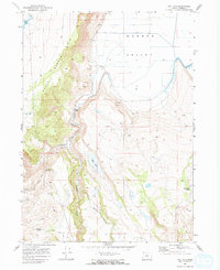
1968 · May Lake
USGS Topo · 1:24,000
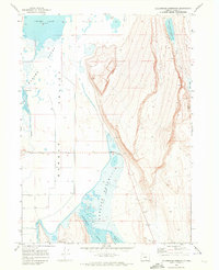
1968 · Calderwood Reservoir
USGS Topo · 1:24,000
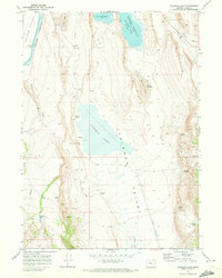
1968 · Coleman Lake
USGS Topo · 1:24,000