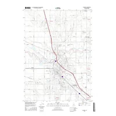
2017 Map of Caldwell
USGS Topo · Published 2017About this map
Caldwell serves as the focal point of this Boise Valley landscape, where the urban grid meets a complex network of agricultural waterways. The Boise River winds through the northern half of the region, flanked by West Hartley Gulch and East Hartley Gulch. A sophisticated irrigation system is etched into the terrain, featuring the Farmers Cooperative-Sebree Canal, Riverside Canal, and the Caldwell Low Line Canal, illustrating the area's deep-rooted reliance on water management for its valley floor.
Find a feature on this map
228 named features on this map. Tap any name to fly to it.
Don’t see what you’re looking for? This feature index may not catch every label — zoom into the map to look around manually.
Map Details
Editions of this 2017 Caldwell Map
This is the sole edition of this map. No revisions or reprints were ever made.
Other maps of this area

1898 · Nampa
USGS Topo · 1:125,000

1955 · Boise
USGS Topo · 1:250,000

1957 · Notus
USGS Topo · 1:24,000

1958 · Boise
USGS Topo · 1:250,000
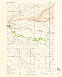
1958 · Middleton
USGS Topo · 1:24,000
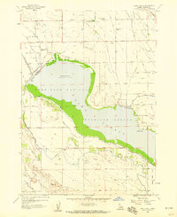
1958 · Lake Lowell
USGS Topo · 1:24,000
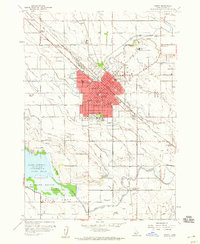
1958 · Nampa
USGS Topo · 1:24,000
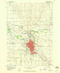
1958 · Caldwell
USGS Topo · 1:24,000
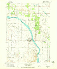
1958 · Marsing
USGS Topo · 1:24,000

1962 · Boise
USGS Topo · 1:250,000