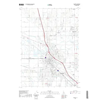
2020 Map of Caldwell
USGS Topo · Published 2020About this map
Caldwell serves as the focal point of this Canyon County landscape, where the Boise River and a complex web of irrigation infrastructure define the local geography. The city is home to The College of Idaho and the Canyon County Courthouse, marking its status as a regional center for education and government. The surrounding terrain is heavily modified by agricultural water systems, including the Phyllis Canal, Golden Gate Canal, and the Farmers Cooperative Sebree Canal, which transform the arid gulches like West Hartley Gulch into productive land. To the northeast, Middleton sits near the Mill Slough, while smaller outlying areas such as Simplot, Enrose, and Midway appear along the rail and road corridors. This modern topographic record captures the transition from civic spaces and campuses to the industrial infrastructure at the Caldwell Industrial Airport and the expansive network of laterals and drains like Noble Drain and Indian Cr that sustain the valley.
Find a feature on this map
130 named features on this map. Tap any name to fly to it.
Don’t see what you’re looking for? This feature index may not catch every label — zoom into the map to look around manually.
Map Details
Editions of this 2020 Caldwell Map
This is the sole edition of this map. No revisions or reprints were ever made.
Other maps of this area

1898 · Nampa
USGS Topo · 1:125,000

1955 · Boise
USGS Topo · 1:250,000

1957 · Notus
USGS Topo · 1:24,000

1958 · Boise
USGS Topo · 1:250,000
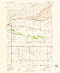
1958 · Middleton
USGS Topo · 1:24,000
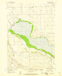
1958 · Lake Lowell
USGS Topo · 1:24,000
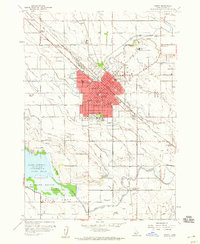
1958 · Nampa
USGS Topo · 1:24,000
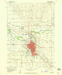
1958 · Caldwell
USGS Topo · 1:24,000
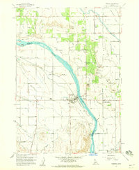
1958 · Marsing
USGS Topo · 1:24,000

1962 · Boise
USGS Topo · 1:250,000