2024 Map of Caldwell
USGS Topo · Published 2024About this map
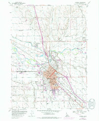
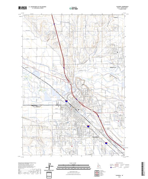
The Boise River and a complex network of agricultural waterways define the landscape between Middleton and Caldwell. This contemporary survey illustrates the dense irrigation system critical to the Treasure Valley, featuring major arteries like the Phyllis Canal, Notus Canal, and Farmers Cooperative Sebree Canal. The city of Caldwell serves as the regional hub, housing The College of Idaho and the Canyon County Courthouse. The urban-rural interface is evident where residential growth meets industrial and agricultural centers like Simplot and the Caldwell Executive Airport. Genealogists and local historians can locate long-standing landmarks including the Middleton Cem and Canyon Hill Cem, while the course of Indian Creek and Mason Creek highlights the natural drainage patterns that shaped early settlement. Small communities like Enrose and Josephson appear alongside modern infrastructure, marking the ongoing evolution of Canyon County.
Find a feature on this map
120 named features on this map. Tap any name to fly to it.
Don’t see what you’re looking for? This feature index may not catch every label — zoom into the map to look around manually.
Map Details
Editions of this 2024 Caldwell Map
This is the sole edition of this map. No revisions or reprints were ever made.