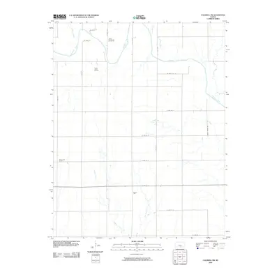
2010 Map of Caldwell NW
USGS Topo · Published 2010About this map
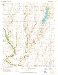
The Chikaskia River meanders across this northern Sumner County landscape, defining the local drainage patterns alongside tributaries such as Spring Creek and Shore Creek. In this region of Kansas, the traditional agricultural grid is intersected by the legacy of energy extraction, most notably at the Walta Oil Field and the Yarnell Oil and Gas Field. These industrial footprints are balanced by quiet local landmarks like the Morris Center Cemetery, which serves as a significant touchstone for genealogical research in the area. The map illustrates a developed network of rural routes, including S Milan Rd and S Conway Springs Rd, which connect scattered homesteads and facilitate access to the surrounding creek beds such as Jordan Creek and East Branch Fall Creek.
Find a feature on this map
26 named features on this map. Tap any name to fly to it.
Don’t see what you’re looking for? This feature index may not catch every label — zoom into the map to look around manually.
Map Details
Editions of this 2010 Caldwell NW Map
This is the sole edition of this map. No revisions or reprints were ever made.
Other maps of this area

1889 · Caldwell
USGS Topo · 1:125,000

1893 · Caldwell
USGS Topo · 1:125,000

1897 · Caldwell
USGS Topo · 1:125,000

1955 · Wichita
USGS Topo · 1:250,000

1958 · Wichita
USGS Topo · 1:250,000

1971 · Caldwell NW
USGS Topo · 1:24,000
1971 · Argonia
USGS Topo · 1:24,000
1971 · Bluff City East
USGS Topo · 1:24,000
1971 · Caldwell
USGS Topo · 1:24,000
1971 · Perth
USGS Topo · 1:24,000