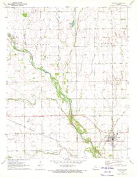
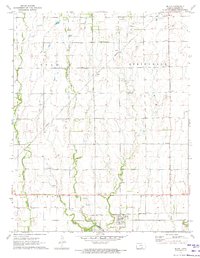
1971 Map of Argonia
USGS Topo · Published 1972About this map
The Chikaskia River meanders across this prairie landscape at the junction of Harper and Sumner Counties, carving a broad green valley through the townships of Odell and Dixon. This 1971 survey captures the town of Argonia as a vital rail crossroads, where the Atchison Topeka and Santa Fe and the Missouri Pacific lines converge.
Find a feature on this map
16 named features on this map. Tap any name to fly to it.
Don’t see what you’re looking for? This feature index may not catch every label — zoom into the map to look around manually.
Map Details
Editions of this 1971 Argonia Map
This is the sole edition of this map. No revisions or reprints were ever made.
Other maps of this area

1889 · Caldwell
USGS Topo · 1:125,000

1893 · Caldwell
USGS Topo · 1:125,000

1897 · Caldwell
USGS Topo · 1:125,000

1955 · Wichita
USGS Topo · 1:250,000

1958 · Wichita
USGS Topo · 1:250,000
1971 · Norwich
USGS Topo · 1:24,000

1971 · Caldwell NW
USGS Topo · 1:24,000
1971 · Adams
USGS Topo · 1:24,000
1971 · Danville
USGS Topo · 1:24,000
1971 · Milan
USGS Topo · 1:24,000