1971 Map of Norwich
USGS Topo · Published 1972About this map
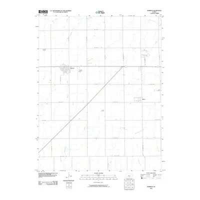
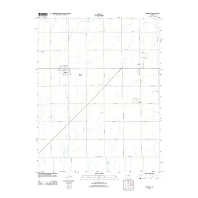
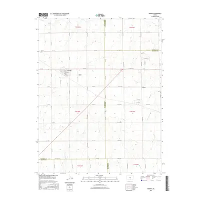
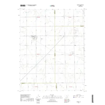
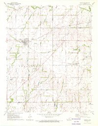
The town of Norwich serves as a central hub on this 1970s survey, situated at the intersection of the Atchison Topeka and Santa Fe Railroad and the Missouri Pacific Railroad. This rail-driven landscape in south-central Kansas preserves a notable historical marker: the Old Indian Treaty Boundary, which cuts across the townships of Allen and Erie. Further south, the community of Milton sits along the rail lines, flanked by the drainage of North Branch Slate Creek. Local history is anchored by several rural burial grounds including Upchurch Cem, Stitch Cem, and Eden Cem. The presence of the Norwich Landing Strip and a separate Landing Strip near the Sedgwick and Sumner county line reflects the era's light aviation infrastructure amidst the agricultural sections and winding paths of Sandy Creek and Argo Creek.
Find a feature on this map
30 named features on this map. Tap any name to fly to it.
Don’t see what you’re looking for? This feature index may not catch every label — zoom into the map to look around manually.
Map Details
Editions of this 1971 Norwich Map
This is the sole edition of this map. No revisions or reprints were ever made.
Historical Maps of Norwich Through Time
6 maps found