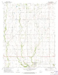
1971 Map of Milan
USGS Topo · Published 1973About this map
The Chikaskia River winds through the southern reaches of this Sumner County landscape, defining a region where agricultural land is segmented by an intricate network of waterways including Spring Creek, Silver Creek, and Shore Creek. The settlement of Milan serves as a central hub, situated along the Atchison Topeka and Santa Fe railroad line. This transportation corridor, along with the Missouri Pacific tracks further north, illustrates the vital role of rail in moving grain and goods from the Kansas plains.
Find a feature on this map
21 named features on this map. Tap any name to fly to it.
Don’t see what you’re looking for? This feature index may not catch every label — zoom into the map to look around manually.
Map Details
Editions of this 1971 Milan Map
2 editions found
Other maps of this area

1889 · Caldwell
USGS Topo · 1:125,000

1893 · Caldwell
USGS Topo · 1:125,000

1897 · Caldwell
USGS Topo · 1:125,000

1955 · Wichita
USGS Topo · 1:250,000

1958 · Wichita
USGS Topo · 1:250,000
1971 · Norwich
USGS Topo · 1:24,000

1971 · Caldwell NW
USGS Topo · 1:24,000
1971 · Argonia
USGS Topo · 1:24,000
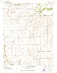
1971 · Millerton
USGS Topo · 1:24,000
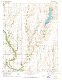
1971 · Perth
USGS Topo · 1:24,000