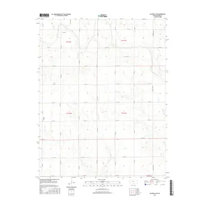
2015 Map of Caldwell NW
USGS Topo · Published 2015About this map
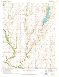
Morris Center Cem serves as a quiet local landmark in this part of Sumner County, where the landscape is defined by the headwaters of numerous small streams. These waterways, including Spring Cr, Jordan Cr, and E Br Fall Cr, carve subtle drainages across the agricultural sections of the Kansas plains. The map illustrates a strict section-line grid system, typical of Midwestern prairie development, where long north-south roads like S Bluff Rd and S Milan Rd dictate the movement of people and commerce. This particular survey highlights the persistent rural character of the region south of Conway Springs, showcasing how the original Public Land Survey System boundaries, such as those for t33s r4w and t32s r3w, continue to organize the modern landscape of family farms and local transit routes.
Find a feature on this map
30 named features on this map. Tap any name to fly to it.
Don’t see what you’re looking for? This feature index may not catch every label — zoom into the map to look around manually.
Map Details
Editions of this 2015 Caldwell NW Map
This is the sole edition of this map. No revisions or reprints were ever made.
Other maps of this area

1889 · Caldwell
USGS Topo · 1:125,000

1893 · Caldwell
USGS Topo · 1:125,000

1897 · Caldwell
USGS Topo · 1:125,000

1955 · Wichita
USGS Topo · 1:250,000

1958 · Wichita
USGS Topo · 1:250,000

1971 · Caldwell NW
USGS Topo · 1:24,000
1971 · Argonia
USGS Topo · 1:24,000
1971 · Bluff City East
USGS Topo · 1:24,000
1971 · Caldwell
USGS Topo · 1:24,000
1971 · Perth
USGS Topo · 1:24,000