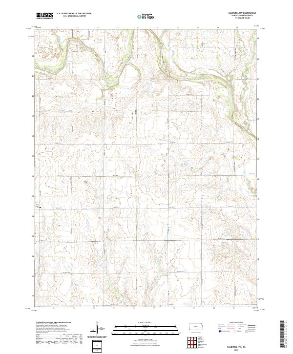
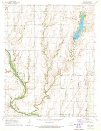
2022 Map of Caldwell NW
USGS Topo · Published 2022About this map
Morris Center Cem serves as a primary genealogical landmark in this section of rural Sumner County, situated along W 80th St S and S Eden Rd. The landscape is defined by a dense network of intermittent watercourses that drain the agricultural plains, including the winding paths of Spring Cr and the E Br Fall Cr. The map reveals a strictly regulated township and range system, where a grid of gravel and dirt roads like S Milan Rd and S Conway Springs Rd provides access to remote farmsteads.
Find a feature on this map
31 named features on this map. Tap any name to fly to it.
Don’t see what you’re looking for? This feature index may not catch every label — zoom into the map to look around manually.
Map Details
Editions of this 2022 Caldwell NW Map
This is the sole edition of this map. No revisions or reprints were ever made.
Other maps of this area

1889 · Caldwell
USGS Topo · 1:125,000

1893 · Caldwell
USGS Topo · 1:125,000

1897 · Caldwell
USGS Topo · 1:125,000

1955 · Wichita
USGS Topo · 1:250,000

1958 · Wichita
USGS Topo · 1:250,000

1971 · Caldwell NW
USGS Topo · 1:24,000
1971 · Argonia
USGS Topo · 1:24,000
1971 · Bluff City East
USGS Topo · 1:24,000
1971 · Caldwell
USGS Topo · 1:24,000
1971 · Perth
USGS Topo · 1:24,000