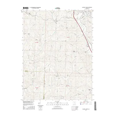
2016 Map of Caldwell South
USGS Topo · Published 2016About this map
The hills of Noble County and Morgan County meet in this landscape of high ridges and winding creek valleys. Small rural settlements like Sharon, Keith, and Dudley are linked by a complex network of township roads and county highways that follow the natural topography, such as Old Tom Ridge and the West Fork Duck Creek valley. The map is particularly rich in genealogical data, preserving the locations of numerous small family and community burial grounds, including Marquis Cem, New Sharon Cem, and Sailor Cem.
Find a feature on this map
167 named features on this map. Tap any name to fly to it.
Don’t see what you’re looking for? This feature index may not catch every label — zoom into the map to look around manually.
Map Details
Editions of this 2016 Caldwell South Map
This is the sole edition of this map. No revisions or reprints were ever made.
Other maps of this area

1903 · Macksburg
USGS Topo · 1:62,500

1905 · Macksburg
USGS Topo · 1:62,500

1909 · Caldwell
USGS Topo · 1:62,500

1909 · Summerfield
USGS Topo · 1:62,500

1911 · Cumberland
USGS Topo · 1:62,500

1911 · Summerfield
USGS Topo · 1:62,500

1912 · Caldwell
USGS Topo · 1:62,500

1949 · Clarksburg
USGS Topo · 1:250,000

1956 · Clarksburg
USGS Topo · 1:250,000

1961 · Clarksburg
USGS Topo · 1:250,000