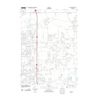
2012 Map of Caledonia
USGS Topo · Published 2012About this map
Argyle and Caledonia anchor the northern reaches of this Winnebago County landscape, showing the suburban expansion and organized road grid surrounding Rockford. The area is defined by a dense network of residential developments and academic institutions, most notably the campus of Rock Valley College in the southwest. Cultural and community history is preserved in several local burial grounds, including Union Cem, Davis Cem, and Orth Cem, which serve as quiet landmarks amidst the growing residential tracts.
Find a feature on this map
232 named features on this map. Tap any name to fly to it.
Don’t see what you’re looking for? This feature index may not catch every label — zoom into the map to look around manually.
Map Details
Editions of this 2012 Caledonia Map
This is the sole edition of this map. No revisions or reprints were ever made.
Other maps of this area

1917 · Kings
USGS Topo · 1:62,500

1918 · Rockford
USGS Topo · 1:62,500

1918 · Belvidere
USGS Topo · 1:62,500

1918 · Kings
USGS Topo · 1:62,500

1918 · Kirkland
USGS Topo · 1:62,500

1938 · Rockford
USGS Topo · 1:62,500

1944 · Belvidere
USGS Topo · 1:62,500

1949 · Camp Grant
USGS Topo · 1:24,000

1949 · Rockford
USGS Topo · 1:24,000

1954 · Rockford
USGS Topo · 1:250,000