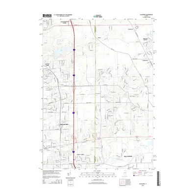
2015 Map of Caledonia
USGS Topo · Published 2015About this map
The Winnebago Co Boone Co line serves as the central axis for this mid-2010s survey, illustrating the suburban transition between Rockford and Belvidere. The landscape is defined by the southeastern flow of the Kishwaukee River and the engineered recreational waters of Pierce Lake and Candlewick Lake. While the western portion of the sheet is dominated by the modern expansion of Loves Park and Machesney Park, the eastern half retains a more rural character around the village of Caledonia and the unincorporated community of Argyle. Notable local landmarks include several small burial grounds such as Davis Cem and Orth Cem, which provide historical touchpoints amidst the residential developments of Timberlane and Poplar Grove. This era of mapping documents the dense street networks and educational institutions like Rasmussen College-Rockford that have emerged near the junction of major transport corridors.
Find a feature on this map
209 named features on this map. Tap any name to fly to it.
Don’t see what you’re looking for? This feature index may not catch every label — zoom into the map to look around manually.
Map Details
Editions of this 2015 Caledonia Map
This is the sole edition of this map. No revisions or reprints were ever made.
Other maps of this area

1917 · Kings
USGS Topo · 1:62,500

1918 · Rockford
USGS Topo · 1:62,500

1918 · Belvidere
USGS Topo · 1:62,500

1918 · Kings
USGS Topo · 1:62,500

1918 · Kirkland
USGS Topo · 1:62,500

1938 · Rockford
USGS Topo · 1:62,500

1944 · Belvidere
USGS Topo · 1:62,500

1949 · Camp Grant
USGS Topo · 1:24,000

1949 · Rockford
USGS Topo · 1:24,000

1954 · Rockford
USGS Topo · 1:250,000