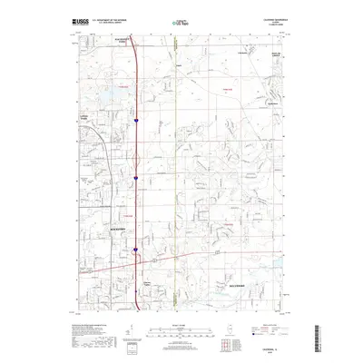
2018 Map of Caledonia
USGS Topo · Published 2018About this map
The Winnebago Co and Boone Co border defines this 2018 study, capturing the eastern expansion of Rockford and the development of nearby Loves Park. Significant educational institutions like Rock Valley College and Saint Anthony College of Nursing anchor the mid-century suburban corridors, while the Kishwaukee River snakes through the southern portion near Cherry Valley. The landscape transitions from the dense street grids of Machesney Park to the smaller, unincorporated communities of Argyle and Caledonia.
Find a feature on this map
214 named features on this map. Tap any name to fly to it.
Don’t see what you’re looking for? This feature index may not catch every label — zoom into the map to look around manually.
Map Details
Editions of this 2018 Caledonia Map
This is the sole edition of this map. No revisions or reprints were ever made.
Other maps of this area

1917 · Kings
USGS Topo · 1:62,500

1918 · Rockford
USGS Topo · 1:62,500

1918 · Belvidere
USGS Topo · 1:62,500

1918 · Kings
USGS Topo · 1:62,500

1918 · Kirkland
USGS Topo · 1:62,500

1938 · Rockford
USGS Topo · 1:62,500

1944 · Belvidere
USGS Topo · 1:62,500

1949 · Camp Grant
USGS Topo · 1:24,000

1949 · Rockford
USGS Topo · 1:24,000

1954 · Rockford
USGS Topo · 1:250,000