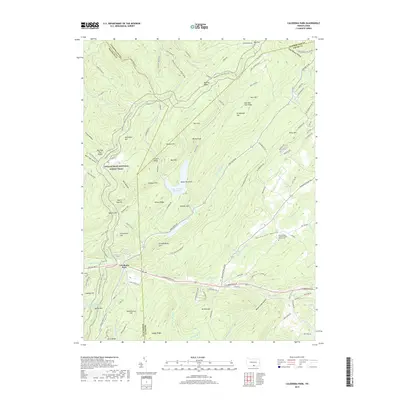
2019 Map of Caledonia Park
USGS Topo · Published 2019About this map
Saint Ignatius Loyola Catholic Church Cem serves as a central landmark in this 2019 survey of the mountainous terrain where Big Flat marks the higher elevations. The geography here is defined by high-altitude ridges and narrow valleys, reflecting a long-standing pattern of dispersed settlement and agricultural clearing in the Pennsylvania highlands. This modern topographic record reveals how modern road networks like the local t314 connect the scattered homesteads and religious centers that have historically anchored these upland communities.
Find a feature on this map
3 named features on this map. Tap any name to fly to it.
Don’t see what you’re looking for? This feature index may not catch every label — zoom into the map to look around manually.
Map Details
Editions of this 2019 Caledonia Park Map
This is the sole edition of this map. No revisions or reprints were ever made.
Other maps of this area

1902 · Chambersburg
USGS Topo · 1:62,500

1909 · Fairfield
USGS Topo · 1:62,500

1919 · Newville
USGS Topo · 1:62,500

1923 · Shippensburg
USGS Topo · 1:62,500

1942 · Hagerstown
USGS Topo · 1:125,000

1942 · Gettysburg
USGS Topo · 1:125,000

1943 · Hagerstown
USGS Topo · 1:125,000

1943 · Chambersburg
USGS Topo · 1:62,500

1943 · Shippensburg
USGS Topo · 1:62,500

1944 · Scotland
USGS Topo · 1:31,680
Featured Places
- Guilford Township, PA
- Southampton Township, PA
- Franklin Township, PA
- Graefenburg, Franklin Township
- Caledonia Park, Greene Township