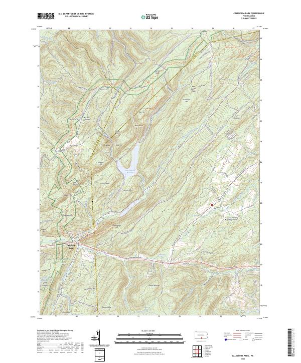
2023 Map of Caledonia Park
USGS Topo · Published 2023About this map
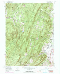
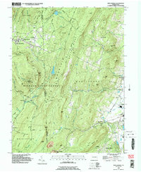
Michaux State Forest covers this high-altitude terrain at the intersection of Adams, Franklin, and Cumberland Counties. The landscape is defined by the steep ridges of South Mountain, including Big Pine Flat Ridge and Snaggy Ridge, which channel water into numerous runs and reservoirs. Central to this area is Caledonia Park, a focal point for the region's public land history, and the Caledonia Water Company Pond located near the base of Rocky Mountain.
Find a feature on this map
118 named features on this map. Tap any name to fly to it.
Don’t see what you’re looking for? This feature index may not catch every label — zoom into the map to look around manually.
Map Details
Editions of this 2023 Caledonia Park Map
This is the sole edition of this map. No revisions or reprints were ever made.
Historical Maps of Caledonia Park Through Time
12 maps found
1944 Caledonia Park
Adams County, PA
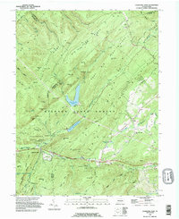
1944 Hampton
Adams County, PA
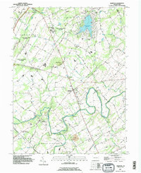
1944 Iron Springs
Adams County, PA
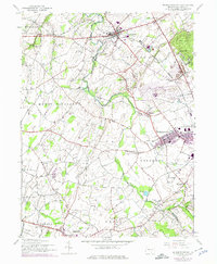
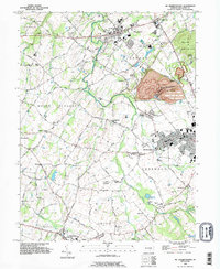
1944 Mc Sherrystown
Adams County, PA
1953 Iron Springs
Adams County, PA
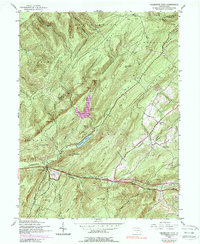
1990 Caledonia Park
Adams County, PA
1990 Hampton
Adams County, PA
1990 Iron Springs
Adams County, PA
1990 Mc Sherrystown
Adams County, PA
2023 Caledonia Park
Adams County, PA
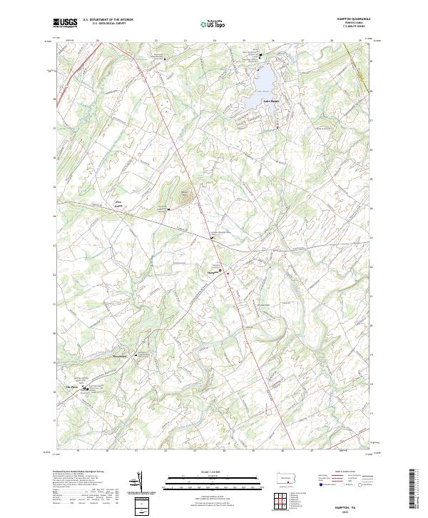
2023 Hampton
Adams County, PA
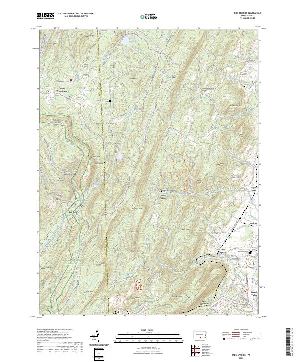
2023 Iron Springs
Adams County, PA
Featured Locations
- Guilford Township, PA
- Southampton Township, PA
- Southampton Township, PA
- Menallen Township, PA
- Franklin Township, PA