
1950 Map of Caledonia
USGS Topo · Published 1965About this map
Caledonia and the surrounding farmland of Trigg and Christian Counties are defined by a complex network of springs and disappearing waterways, as seen in this 1950 topographic study. The landscape is punctuated by numerous named springs such as Mill Stream Spring, Casey Spring, and Cook Cave Spring, which emerge from the karst terrain to feed the winding course of the Sinking Fork. This hydrology supported early rural industry and settlement patterns, evidenced by the location of Binns Mill along the southern banks of the Little River.
Find a feature on this map
32 named features on this map. Tap any name to fly to it.
Don’t see what you’re looking for? This feature index may not catch every label — zoom into the map to look around manually.
Map Details
Editions of this 1950 Caledonia Map
This is the sole edition of this map. No revisions or reprints were ever made.
Other maps of this area

1951 · Church Hill
USGS Topo · 1:24,000

1951 · Caledonia
USGS Topo · 1:24,000

1951 · Roaring Spring
USGS Topo · 1:24,000

1951 · Johnson Hollow
USGS Topo · 1:24,000

1951 · Herndon
USGS Topo · 1:24,000

1952 · Pleasant Green Hill
USGS Topo · 1:24,000

1953 · Gracey
USGS Topo · 1:24,000

1953 · Cobb
USGS Topo · 1:24,000
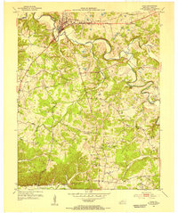
1953 · Cadiz
USGS Topo · 1:24,000
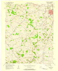
1956 · Church Hill
USGS Topo · 1:24,000