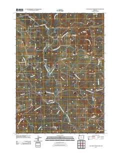
2011 Map of Calf Ranch Mountain
USGS Topo · Published 2011About this map
Okietown sits at the heart of this coastal drainage network, where the headwaters of the North Fork Floras Creek and its various branches carve through the high ground of the Calf Ranch Mountain area. The landscape is defined by its dramatic relief, with prominent peaks such as Buzzard Butte, Cotton Butte, and Bennett Butte overlooking deep incisions like Oberg Canyon. Transportation through this timbered terrain is facilitated by several ridge-running roads, including North Fourmile Rd and Bennet Butte Rd, which connect the small encampments and historical sites scattered across the ridges.
Find a feature on this map
35 named features on this map. Tap any name to fly to it.
Don’t see what you’re looking for? This feature index may not catch every label — zoom into the map to look around manually.
Map Details
Editions of this 2011 Calf Ranch Mountain Map
This is the sole edition of this map. No revisions or reprints were ever made.
Other maps of this area

1896 · Coos Bay
USGS Topo · 1:125,000

1898 · Coos Bay
USGS Topo · 1:125,000

1899 · Port Orford
USGS Topo · 1:125,000

1900 · Coos Bay
USGS Topo · 1:125,000

1903 · Port Orford
USGS Topo · 1:125,000

1942 · Coquille
USGS Topo · 1:62,500

1943 · Bandon
USGS Topo · 1:62,500

1944 · Bandon
USGS Topo · 1:62,500

1945 · Coquille
USGS Topo · 1:62,500

1954 · Coos Bay
USGS Topo · 1:250,000