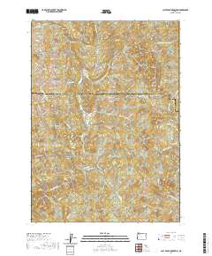
2020 Map of Calf Ranch Mountain
USGS Topo · Published 2020About this map
Ocean View Cem sits near the western edge of this coastal range landscape, overlooking the complex drainage network of the Southern Oregon coast. The terrain is defined by a series of prominent peaks and ridges, including Calf Ranch Mtn, Bennett Butte, and Watches Butte. The map reveals the intricate headwaters of Floras Creek and its many branches, alongside the N Fork Sixes River to the southeast. A notable landmark, the White Elephant Bridge, crosses these interior waterways. The area is marked by numerous canyons and buttes, such as Oberg Canyon and Buzzard Butte, which illustrate the steep relief and geological character of the border between Coos and Curry counties. This modern survey documents the legacy of ranching and land use in the namesake Calf Ranch Prairie region.
Find a feature on this map
42 named features on this map. Tap any name to fly to it.
Don’t see what you’re looking for? This feature index may not catch every label — zoom into the map to look around manually.
Map Details
Editions of this 2020 Calf Ranch Mountain Map
This is the sole edition of this map. No revisions or reprints were ever made.
Other maps of this area

1896 · Coos Bay
USGS Topo · 1:125,000

1898 · Coos Bay
USGS Topo · 1:125,000

1899 · Port Orford
USGS Topo · 1:125,000

1900 · Coos Bay
USGS Topo · 1:125,000

1903 · Port Orford
USGS Topo · 1:125,000

1942 · Coquille
USGS Topo · 1:62,500

1943 · Bandon
USGS Topo · 1:62,500

1944 · Bandon
USGS Topo · 1:62,500

1945 · Coquille
USGS Topo · 1:62,500

1954 · Coos Bay
USGS Topo · 1:250,000