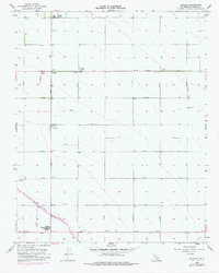
1956 Map of Calflax
USGS Topo · Published 1978About this map
Agricultural development and infrastructure in the Central Valley are prominently displayed here, captured during a period of significant growth in Fresno County. The California Aqueduct cuts diagonally through the southern portion of the landscape, a major engineering feat of the era. Settlement is concentrated in farming hubs and work sites such as Calflax, Diener Ranch, and Pasajero Farm. The grid-like road system, named after automotive and industrial giants like Cadillac Ave, Packard Ave, and Stutz Ave, reflects a highly organized rural economy.
Find a feature on this map
29 named features on this map. Tap any name to fly to it.
Don’t see what you’re looking for? This feature index may not catch every label — zoom into the map to look around manually.
Map Details
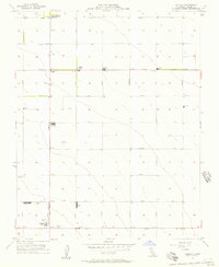
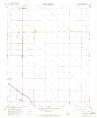
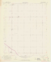
Editions of this 1956 Calflax Map
4 editions found
Other maps of this area

1912 · Coalinga
USGS Topo · 1:125,000

1926 · Lethent
USGS Topo · 1:31,680

1927 · Burrel
USGS Topo · 1:31,680

1928 · Delta Farms No 3
USGS Topo · 1:31,680

1929 · Westhaven
USGS Topo · 1:31,680

1931 · Wheatville
USGS Topo · 1:31,680

1931 · Towne Oil Station
USGS Topo · 1:31,680

1932 · Delta Farms
USGS Topo · 1:31,680

1932 · West of Lethent
USGS Topo · 1:31,680

1933 · Huron
USGS Topo · 1:31,680