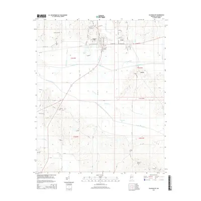
2015 Map of Calhoun City
USGS Topo · Published 2015About this map
Calhoun City and the neighboring town of Derma anchor this northern Mississippi landscape, situated just north of the Yalobusha River. The region is defined by a dense network of watercourses and cemeteries, including New Gauley Cem and Calhoun City Cem, which offer significant value for genealogical research. The complex hydrology of the area is evident in the engineering of the Topashaw Creek Canal and the presence of Martin Lakes, illustrating how the community has historically managed the river bottomlands.
Find a feature on this map
93 named features on this map. Tap any name to fly to it.
Don’t see what you’re looking for? This feature index may not catch every label — zoom into the map to look around manually.
Map Details
Editions of this 2015 Calhoun City Map
This is the sole edition of this map. No revisions or reprints were ever made.
Other maps of this area

1953 · Walthall
USGS Topo · 1:62,500

1953 · West Point
USGS Topo · 1:250,000

1954 · Pittsboro
USGS Topo · 1:62,500

1958 · West Point
USGS Topo · 1:250,000

1963 · West Point
USGS Topo · 1:250,000

1972 · Atlanta
USGS Topo · 1:24,000

1972 · Vardaman
USGS Topo · 1:24,000

1972 · Hohenlinden
USGS Topo · 1:24,000
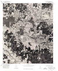
1976 · Pittsboro SE
USGS Topo · 1:24,000
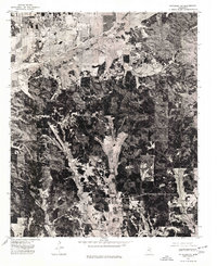
1976 · Pittsboro NE
USGS Topo · 1:24,000