
1952 Map of Calhoun
USGS Topo · Published 1954About this map
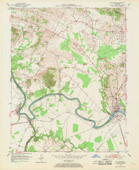
The Green River carves a deep, winding path through the heart of McLean County, anchoring the commercial and social life of Calhoun and Rumsey. During the early 1950s, this river corridor served as a vital artery, evidenced by the Gaging Sta and riverfront infrastructure. The landscape is dotted with rural centers of worship and education, including Shutts Chapel, Antioch Ch, and the combined St Sebastian Sch. Smaller named settlements like Ashbyburg, Jewel City, and Poverty indicate the dispersed nature of the agricultural community at mid-century. Industry is represented by numerous Oil Wells concentrated in the northern sections near Guffie and Cleopatra, while the Gravel Ford Bridge over Cypress Creek highlights the local transport network connecting family farms and cemeteries such as Moseley Cem.
Find a feature on this map
27 named features on this map. Tap any name to fly to it.
Don’t see what you’re looking for? This feature index may not catch every label — zoom into the map to look around manually.
Map Details
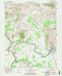
Editions of this 1952 Calhoun Map
Other maps of this area

1906 · Sutherland
USGS Topo · 1:62,500

1908 · Calhoun
USGS Topo · 1:62,500

1909 · Madisonville
USGS Topo · 1:62,500

1909 · Central City
USGS Topo · 1:62,500

1952 · Livermore
USGS Topo · 1:24,000

1952 · Sacramento
USGS Topo · 1:24,000

1952 · Beech Grove
USGS Topo · 1:24,000

1952 · Hanson
USGS Topo · 1:24,000
1953 · Glenville
USGS Topo · 1:24,000
1953 · Delaware
USGS Topo · 1:24,000