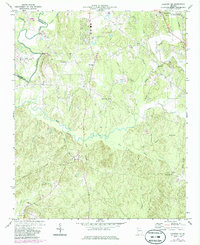
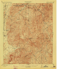
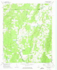
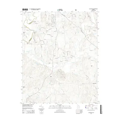
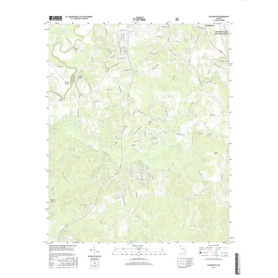
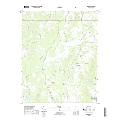
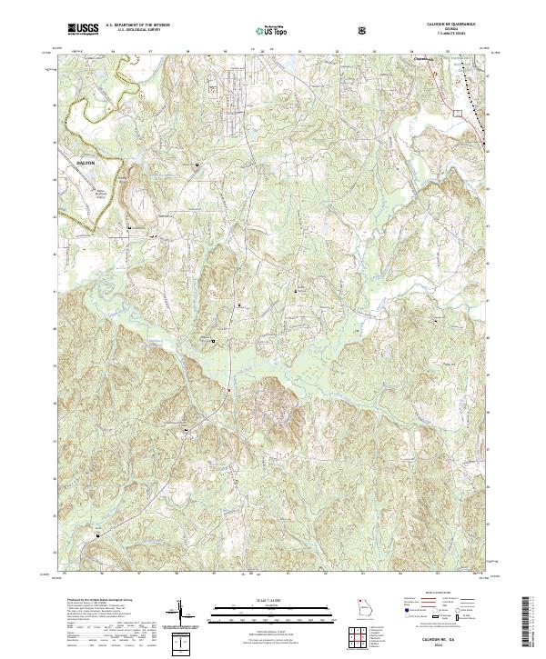
1972 Map of Calhoun NE
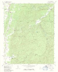
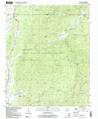
USGS Topo · Published 1986About this map
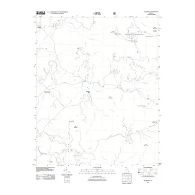
The Conasauga River winds through the borderlands of Murray and Whitfield counties, where the Chattahoochee National Forest begins its sweep into the rising terrain. This early 1970s record, updated in the mid-1980s, reveals a rural landscape deeply defined by its small community centers and congregations. Notable landmarks such as Timms Chapel and Casey Springs Ch sit alongside family-named sites like Kilgore Cem, illustrating the settlement patterns of north Georgia. The presence of the Seaboard railroad and the Dalton Municipal Airport near the Trailer Park shows the intersection of traditional agricultural life with regional transport infrastructure. The map traces numerous watercourses, including Holly Creek, Lick Creek, and Rock Creek, which flow through the ridges and valleys of this transition zone.
Find a feature on this map
44 named features on this map. Tap any name to fly to it.
Don’t see what you’re looking for? This feature index may not catch every label — zoom into the map to look around manually.
Map Details
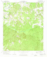
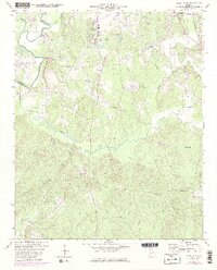
Editions of this 1972 Calhoun NE Map
3 editions found
Historical Maps of Dalton Through Time
33 maps found
1911 Cohutta Mountain
Murray County, GA
1913 Cuhutta
Murray County, GA
1968 Tennga
Murray County, GA
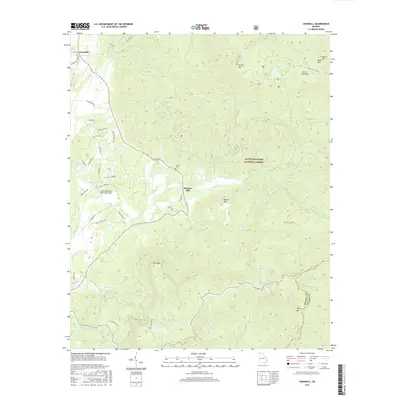
1971 Crandall
Murray County, GA
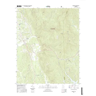
1971 Ramhurst
Murray County, GA
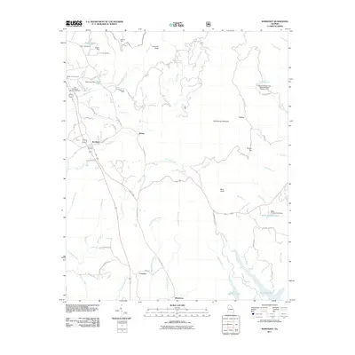
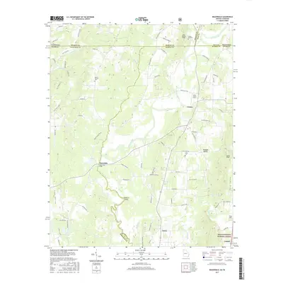
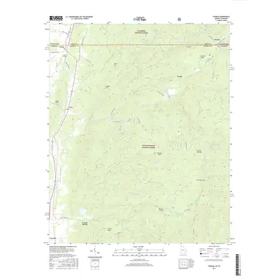
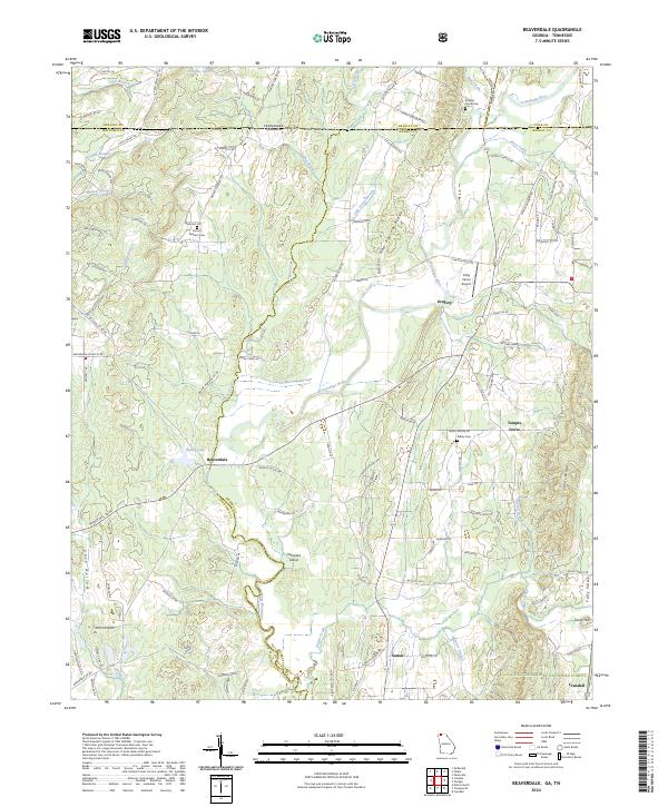
1972 Beaverdale
Murray County, GA
1972 Calhoun NE
Murray County, GA
1997 Tennga
Murray County, GA
2011 Beaverdale
Murray County, GA
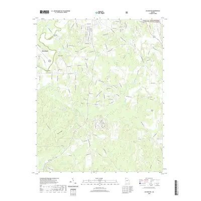
2011 Calhoun NE
Murray County, GA
2011 Crandall
Murray County, GA
2011 Ramhurst
Murray County, GA
2011 Tennga
Murray County, GA
2014 Beaverdale
Murray County, GA
2014 Calhoun NE
Murray County, GA
2014 Crandall
Murray County, GA
2014 Ramhurst
Murray County, GA
2014 Tennga
Murray County, GA
2017 Beaverdale
Murray County, GA
2017 Calhoun NE
Murray County, GA
2017 Crandall
Murray County, GA
2017 Ramhurst
Murray County, GA
2017 Tennga
Murray County, GA
2020 Beaverdale
Murray County, GA
2020 Calhoun NE
Murray County, GA
2020 Crandall
Murray County, GA
2020 Ramhurst
Murray County, GA
2020 Tennga
Murray County, GA
2024 Beaverdale
Murray County, GA
2024 Calhoun NE
Murray County, GA
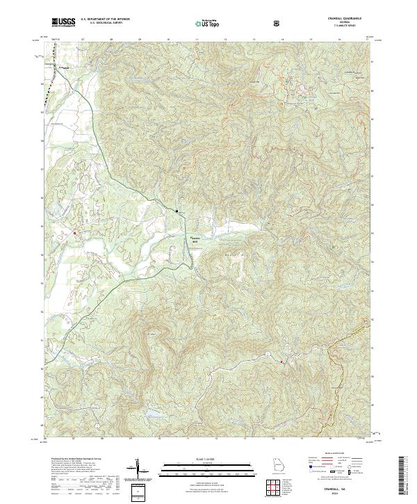
2024 Crandall
Murray County, GA
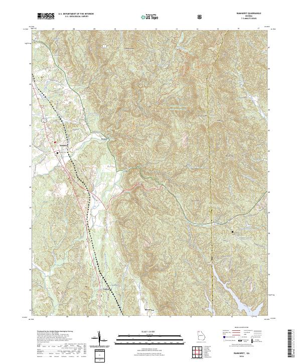
2024 Ramhurst
Murray County, GA
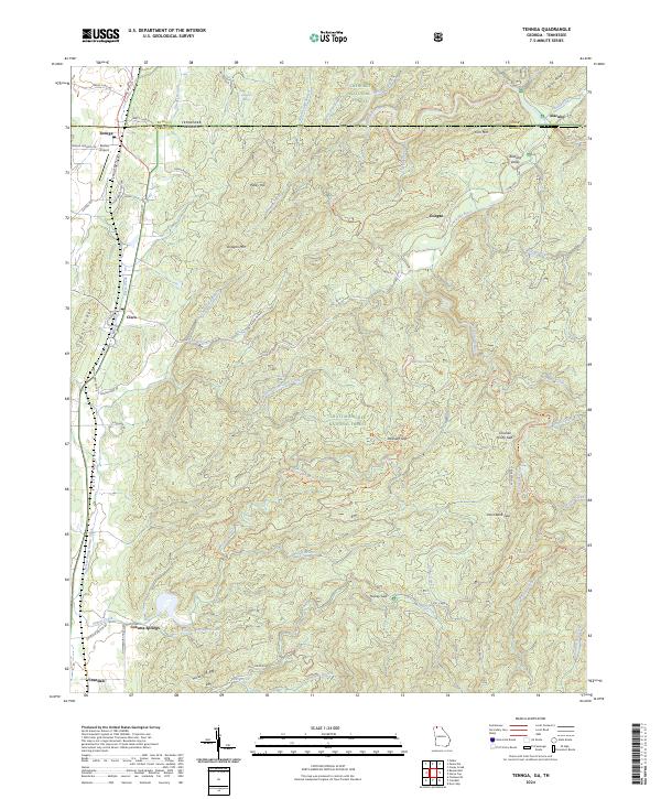
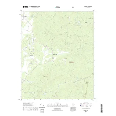
2024 Tennga
Murray County, GA