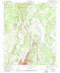
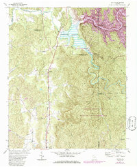
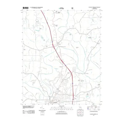
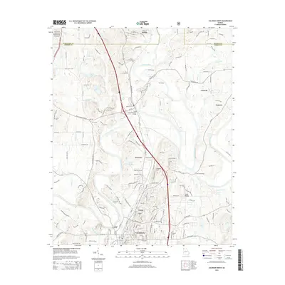
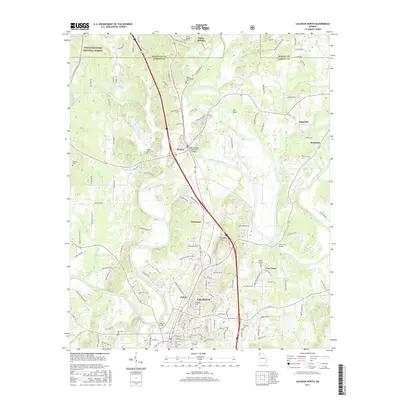
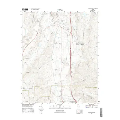
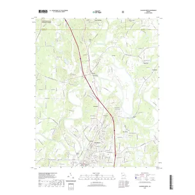
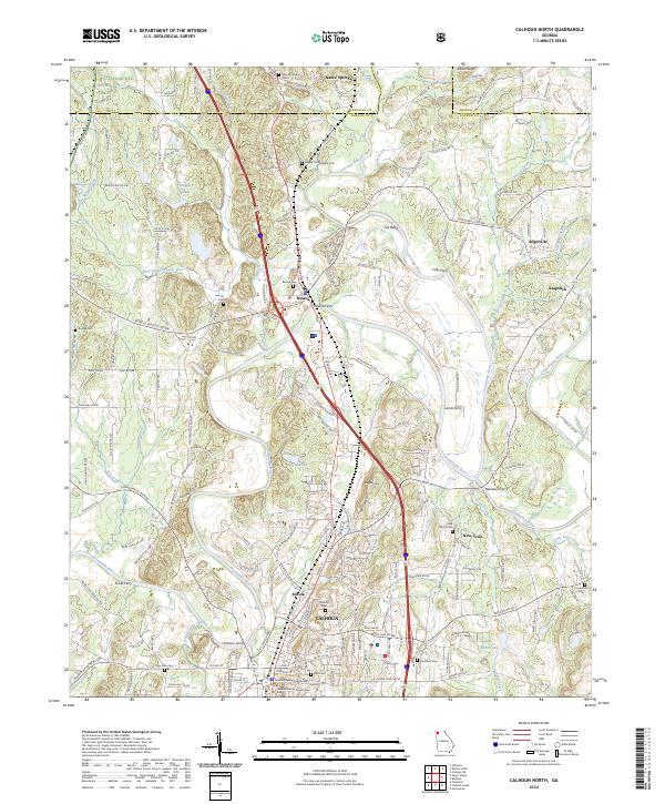
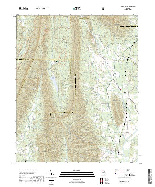
1972 Map of Calhoun North
USGS Topo · Published 1988About this map
The confluence of the Conasauga River and Coosa Wattee River forms the headwaters of the Oostanaula River, a hydrologic junction that historically anchored the region's development. This 1972 survey documents the cultural layers of northern Gordon County, from the preserved New Echota Historical Site and the Cherokee Indian Memorial to the Civil War heritage at the Resaca Confederate Cem near Resaca. The landscape is a transition from the edges of the Chattahoochee National Forest to the urban center of Calhoun.
Find a feature on this map
59 named features on this map. Tap any name to fly to it.
Don’t see what you’re looking for? This feature index may not catch every label — zoom into the map to look around manually.
Map Details
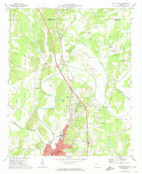
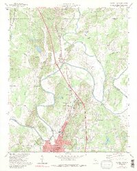
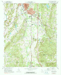
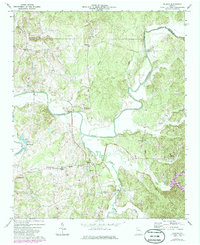
Editions of this 1972 Calhoun North Map
3 editions found
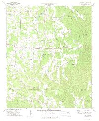
Historical Maps of Calhoun Through Time
36 maps found
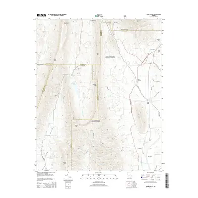
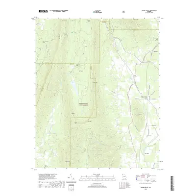
1967 Sugar Valley
Gordon County, GA
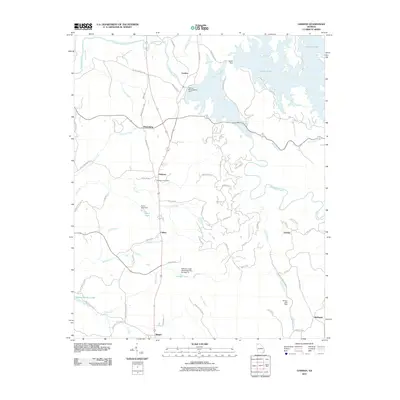
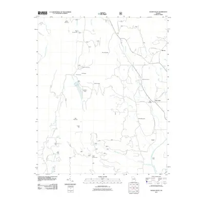
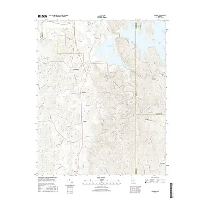
1971 Oakman
Gordon County, GA
1972 Calhoun North
Gordon County, GA
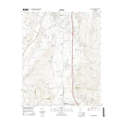
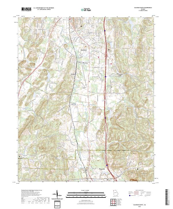
1972 Calhoun South
Gordon County, GA
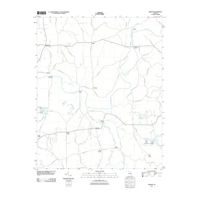
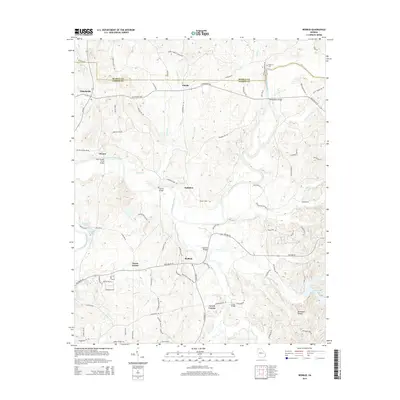
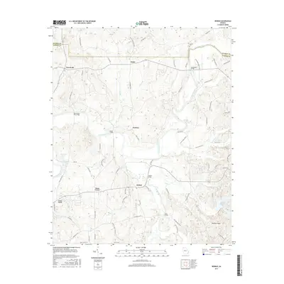
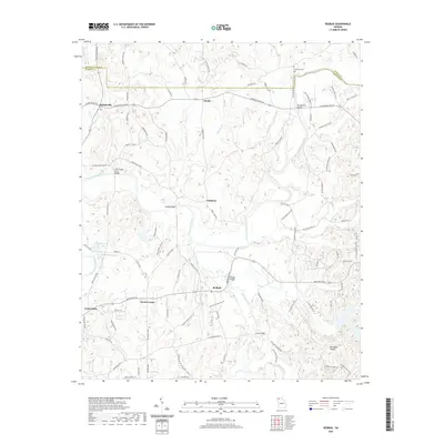
1972 Redbud
Gordon County, GA
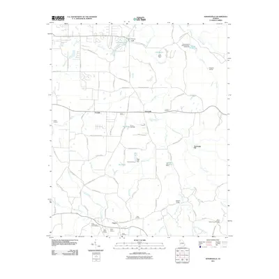
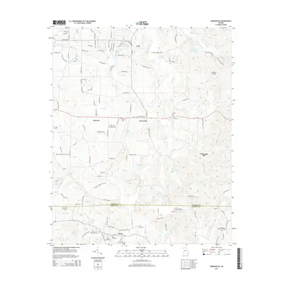
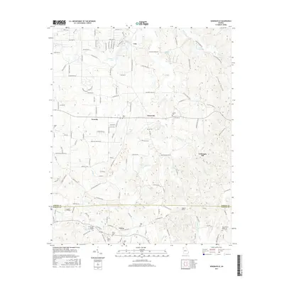
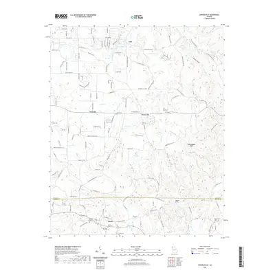
1972 Sonoraville
Gordon County, GA
2011 Calhoun North
Gordon County, GA

2011 Calhoun South
Gordon County, GA
2011 Oakman
Gordon County, GA
2011 Redbud
Gordon County, GA
2011 Sonoraville
Gordon County, GA
2011 Sugar Valley
Gordon County, GA
2014 Calhoun North
Gordon County, GA
2014 Calhoun South
Gordon County, GA
2014 Oakman
Gordon County, GA
2014 Redbud
Gordon County, GA
2014 Sonoraville
Gordon County, GA
2014 Sugar Valley
Gordon County, GA
2017 Calhoun North
Gordon County, GA
2017 Calhoun South
Gordon County, GA
2017 Oakman
Gordon County, GA
2017 Redbud
Gordon County, GA
2017 Sonoraville
Gordon County, GA
2017 Sugar Valley
Gordon County, GA
2020 Calhoun North
Gordon County, GA
2020 Calhoun South
Gordon County, GA
2020 Oakman
Gordon County, GA
2020 Redbud
Gordon County, GA
2020 Sonoraville
Gordon County, GA
2020 Sugar Valley
Gordon County, GA
2024 Calhoun North
Gordon County, GA
2024 Calhoun South
Gordon County, GA
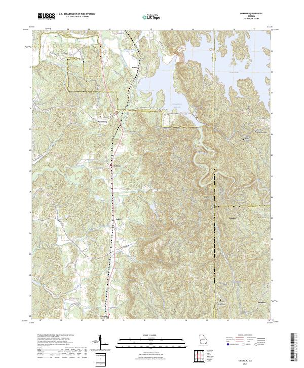
2024 Oakman
Gordon County, GA
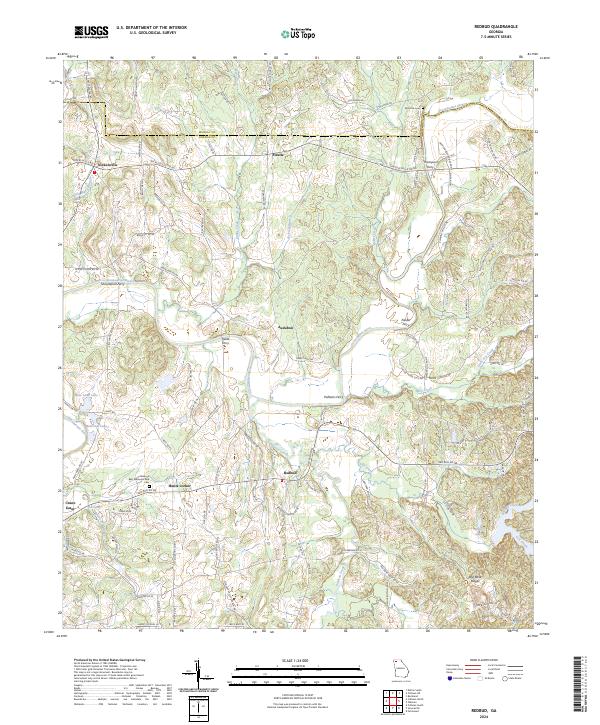
2024 Redbud
Gordon County, GA
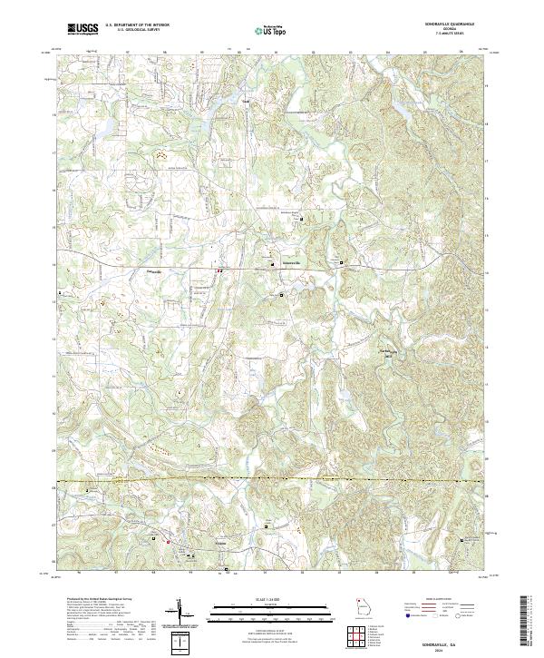
2024 Sonoraville
Gordon County, GA
2024 Sugar Valley
Gordon County, GA