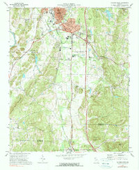
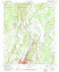
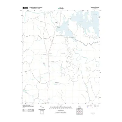
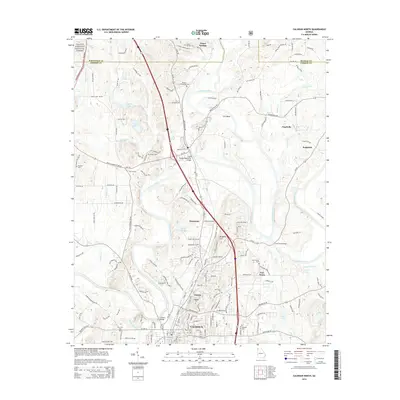
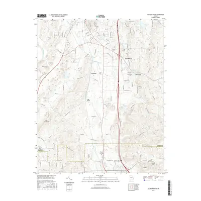
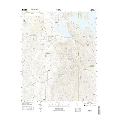
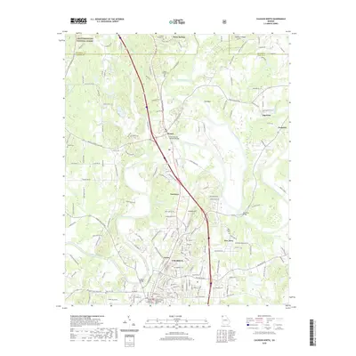
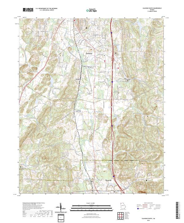
1972 Map of Calhoun South
USGS Topo · Published 1990About this map
The Louisville And Nashville railroad corridor anchors this survey of Northwest Georgia, connecting the industrial and residential core of Calhoun in the north to Adairsville at the southern boundary. This 1970s landscape is a mix of developing valley floors and the prominent ridges of Robbins Mountain and John Gunn Mountain to the west. Rural life is evidenced by the density of community landmarks, including Liberty Sch and numerous country churches such as St Clements Ch, Salem Ch, and Union Grove Ch.
Find a feature on this map
52 named features on this map. Tap any name to fly to it.
Don’t see what you’re looking for? This feature index may not catch every label — zoom into the map to look around manually.
Map Details
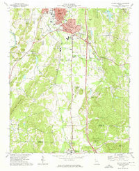
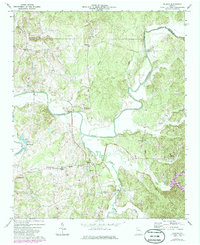
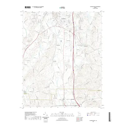
Editions of this 1972 Calhoun South Map
2 editions found
Historical Maps of Calhoun Through Time
36 maps found
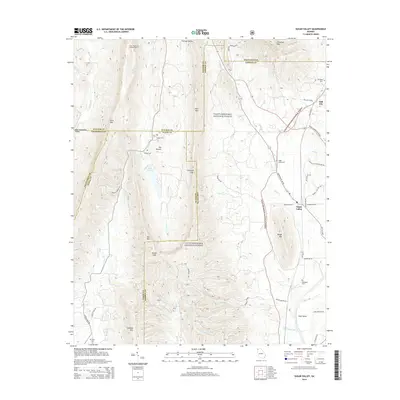
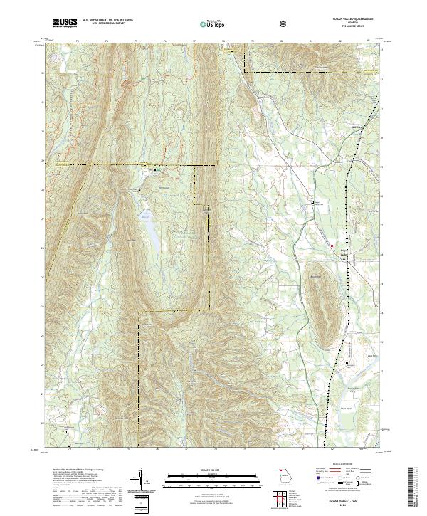
1967 Sugar Valley
Gordon County, GA
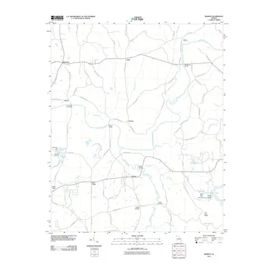
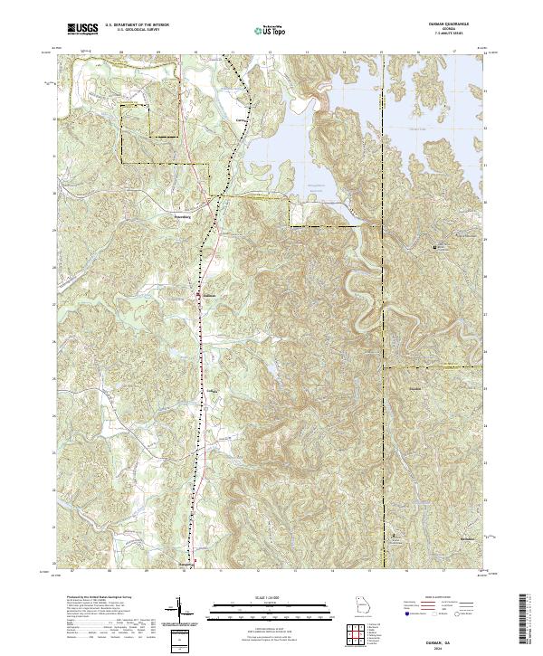
1971 Oakman
Gordon County, GA
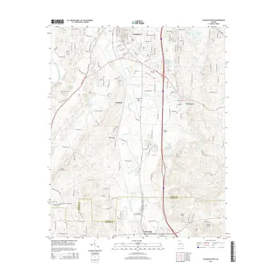
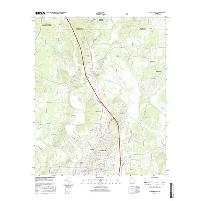
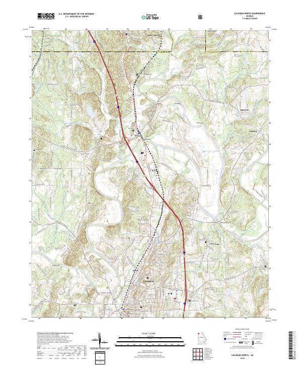
1972 Calhoun North
Gordon County, GA
1972 Calhoun South
Gordon County, GA
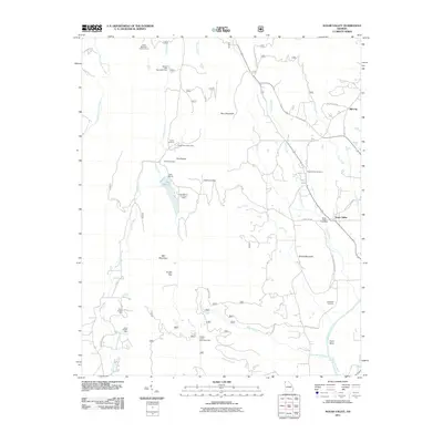
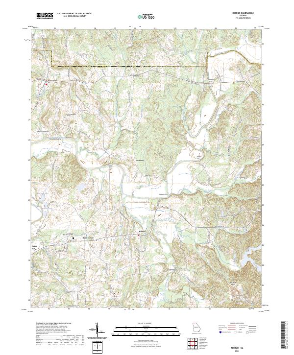
1972 Redbud
Gordon County, GA
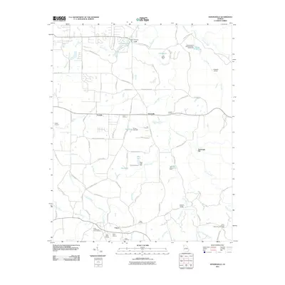
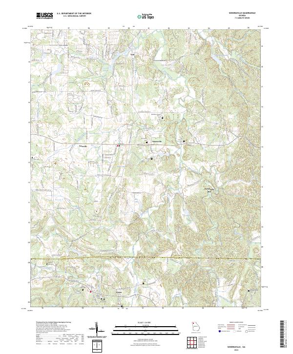
1972 Sonoraville
Gordon County, GA
2011 Calhoun North
Gordon County, GA

2011 Calhoun South
Gordon County, GA
2011 Oakman
Gordon County, GA
2011 Redbud
Gordon County, GA
2011 Sonoraville
Gordon County, GA
2011 Sugar Valley
Gordon County, GA
2014 Calhoun North
Gordon County, GA
2014 Calhoun South
Gordon County, GA
2014 Oakman
Gordon County, GA
2014 Redbud
Gordon County, GA
2014 Sonoraville
Gordon County, GA
2014 Sugar Valley
Gordon County, GA
2017 Calhoun North
Gordon County, GA
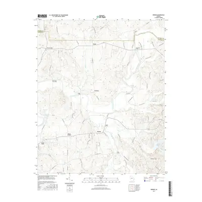
2017 Calhoun South
Gordon County, GA
2017 Oakman
Gordon County, GA
2017 Redbud
Gordon County, GA
2017 Sonoraville
Gordon County, GA
2017 Sugar Valley
Gordon County, GA
2020 Calhoun North
Gordon County, GA
2020 Calhoun South
Gordon County, GA
2020 Oakman
Gordon County, GA
2020 Redbud
Gordon County, GA
2020 Sonoraville
Gordon County, GA
2020 Sugar Valley
Gordon County, GA
2024 Calhoun North
Gordon County, GA
2024 Calhoun South
Gordon County, GA
2024 Oakman
Gordon County, GA
2024 Redbud
Gordon County, GA
2024 Sonoraville
Gordon County, GA
2024 Sugar Valley
Gordon County, GA