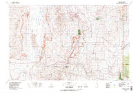
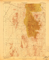
1978 Map of Caliente
USGS Topo · Published 1995About this map
Mining operations and narrow canyons define this late 1970s landscape in eastern Nevada. The town of Pioche serves as a hub for local industry, surrounded by historic workings such as the Ely Valley Mine, Prince Mine Centennial Shaft, and Black Prince Mine. The Union Pacific railroad tracks follow the winding course of the Meadow Valley Wash south through Caliente, reflecting a long-standing reliance on the valley floors for transportation through the high desert terrain.
Find a feature on this map
80 named features on this map. Tap any name to fly to it.
Don’t see what you’re looking for? This feature index may not catch every label — zoom into the map to look around manually.
Map Details
Editions of this 1978 Caliente Map
This is the sole edition of this map. No revisions or reprints were ever made.
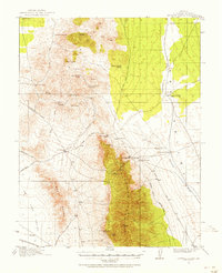
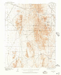
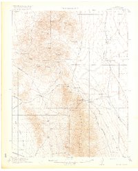
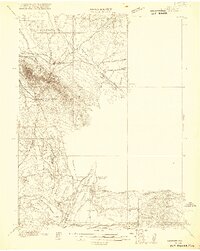
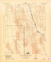
Other maps of this area

1885 · St. George
USGS Topo · 1:250,000

1885 · Pioche
USGS Topo · 1:250,000

1886 · Pioche
USGS Topo · 1:250,000

1891 · St. George
USGS Topo · 1:250,000
1915 · Bristol Range
USGS Topo · 1:62,500
1916 · Highland
USGS Topo · 1:62,500
1917 · Bristol Range
USGS Topo · 1:62,500
1918 · Highland
USGS Topo · 1:62,500
1921 · NW 1/4 Panaca
USGS Topo · 1:48,000
1945 · Alamo
USGS Topo · 1:125,000