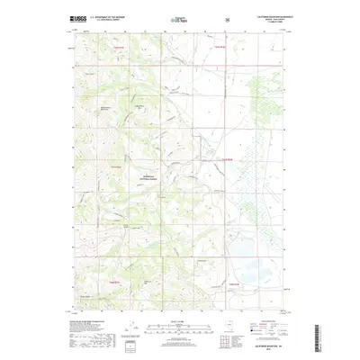
2018 Map of California Mountain
USGS Topo · Published 2018About this map
Independence Mountains define the high-altitude geography of this Elko County interior, where the northern Nevada landscape is carved by steep drainages and isolated springs. The topography is dominated by the Humboldt National Forest, which contains landmarks like Independence Mtn and California Mtn. A complex network of forest access routes, including Deadman Loop and various spurs, suggests a history of land management and resource exploration throughout these peaks.
Find a feature on this map
53 named features on this map. Tap any name to fly to it.
Don’t see what you’re looking for? This feature index may not catch every label — zoom into the map to look around manually.
Map Details
Editions of this 2018 California Mountain Map
This is the sole edition of this map. No revisions or reprints were ever made.
Other maps of this area

1955 · McDermitt
USGS Topo · 1:250,000

1955 · Wells
USGS Topo · 1:250,000

1956 · Tuscarora
USGS Topo · 1:62,500

1956 · Bull Run
USGS Topo · 1:62,500

1956 · Wild Horse
USGS Topo · 1:62,500

1958 · Wells
USGS Topo · 1:250,000

1959 · McDermitt
USGS Topo · 1:250,000

1961 · Wells
USGS Topo · 1:250,000

1971 · Mahala Creek West
USGS Topo · 1:24,000

1971 · North Fork
USGS Topo · 1:24,000