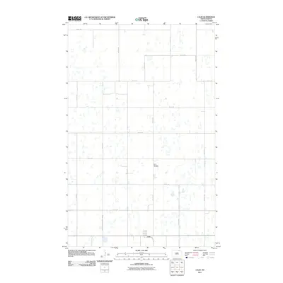
2011 Map of Calio
USGS Topo · Published 2011About this map
Calio sits at the southern edge of this prairie landscape, defined by a rigid grid of agricultural roads on the border of Cavalier County. This 2011 survey illustrates the rural organization of the region, where the Towner-Cavalier County Line Rd marks the administrative divide. The terrain is dotted with numerous small potholes and wetlands characteristic of the drift prairie, creating a complex drainage pattern across the sections. Centrally located, the Saint Boniface Cemetery serves as a significant landmark for genealogical research and local history, situated away from the primary settlement. The road network, including Sunshine Trl and various numbered avenues like 80th Ave NE, provides the framework for this high-plains farming community.
Find a feature on this map
18 named features on this map. Tap any name to fly to it.
Don’t see what you’re looking for? This feature index may not catch every label — zoom into the map to look around manually.
Map Details
Editions of this 2011 Calio Map
This is the sole edition of this map. No revisions or reprints were ever made.
Other maps of this area

1953 · Devils Lake
USGS Topo · 1:250,000

1956 · Devils Lake
USGS Topo · 1:250,000

1962 · Egeland SE
USGS Topo · 1:24,000

1962 · Egeland
USGS Topo · 1:24,000

1970 · Calvin
USGS Topo · 1:24,000

1970 · Sarles SE
USGS Topo · 1:24,000

1970 · Rock Lake SE
USGS Topo · 1:24,000

1970 · Munich
USGS Topo · 1:24,000

1971 · Calio
USGS Topo · 1:24,000

1971 · Munich SW
USGS Topo · 1:24,000