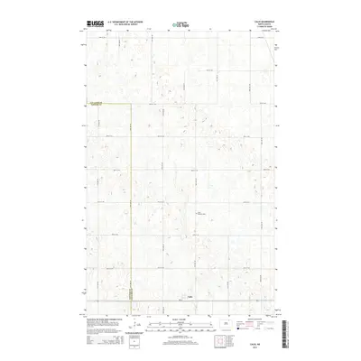
2014 Map of Calio
USGS Topo · Published 2014About this map
Calio sits at the southern edge of this North Dakota landscape, a small settlement positioned along the highway designated as Nd-66. The terrain is characterized by a dense network of prairie potholes and depressions, reflecting the glacial history of the Red River Valley upland. Genealogists and local historians will find the Saint Bonafice Cem located centrally among the section lines, a primary landmark in an area defined by its agricultural grid. The map also traces the boundary between Cavalier Co and Towner Co, showing how political lines bisect this rural expanse of section roads including 90th St NE and 85th St NE.
Find a feature on this map
13 named features on this map. Tap any name to fly to it.
Don’t see what you’re looking for? This feature index may not catch every label — zoom into the map to look around manually.
Map Details
Editions of this 2014 Calio Map
This is the sole edition of this map. No revisions or reprints were ever made.
Other maps of this area

1953 · Devils Lake
USGS Topo · 1:250,000

1956 · Devils Lake
USGS Topo · 1:250,000

1962 · Egeland SE
USGS Topo · 1:24,000

1962 · Egeland
USGS Topo · 1:24,000

1970 · Calvin
USGS Topo · 1:24,000

1970 · Sarles SE
USGS Topo · 1:24,000

1970 · Rock Lake SE
USGS Topo · 1:24,000

1970 · Munich
USGS Topo · 1:24,000

1971 · Calio
USGS Topo · 1:24,000

1971 · Munich SW
USGS Topo · 1:24,000