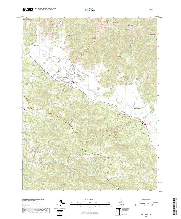
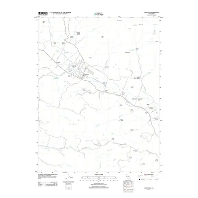
2021 Map of Calistoga
USGS Topo · Published 2021About this map
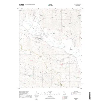
Calistoga serves as the focal point of this northern Napa Valley landscape, situated where the valley floor meets the rising peaks of the Mayacmas Mountains. The map highlights the area's geothermal and viticultural identity, noting the Old Faithful Geyser of California and the historic Larkmead area. To the south and west, the terrain becomes increasingly complex, dominated by the slopes of Diamond Mtn and the protected lands of Bothe-Napa Valley State Park.
Find a feature on this map
119 named features on this map. Tap any name to fly to it.
Don’t see what you’re looking for? This feature index may not catch every label — zoom into the map to look around manually.
Map Details
Editions of this 2021 Calistoga Map
This is the sole edition of this map. No revisions or reprints were ever made.
Historical Maps of Calistoga Through Time
11 maps found
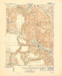
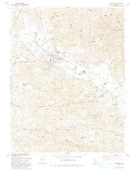
1927 Calistoga
Napa County, CA

1943 Calistoga
Napa County, CA
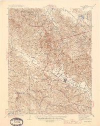
1945 Calistoga
Napa County, CA
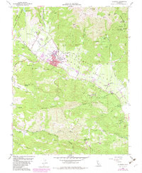
1958 Calistoga
Napa County, CA

1959 Calistoga
Napa County, CA
1993 Calistoga
Napa County, CA
1997 Calistoga
Napa County, CA
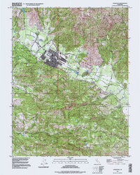
2012 Calistoga
Napa County, CA
2015 Calistoga
Napa County, CA
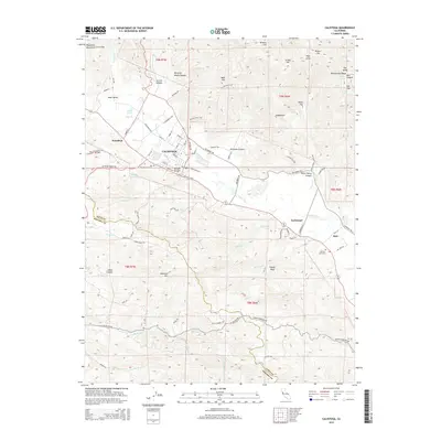
2018 Calistoga
Napa County, CA
2021 Calistoga
Napa County, CA