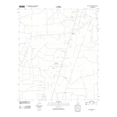
2010 Map of Call Junction
USGS Topo · Published 2010About this map
Call Junction sits at the heart of this East Texas landscape, where small communities and timberlands are defined by a network of winding waterways. The settlement pattern follows a series of county roads and farm-to-market routes that connect historic locales like Call, Le Verte, and Forbes. Water dominates the geography, with the slow-moving courses of Cypress Creek, Nichols Creek, and Deer Creek carving through the terrain. A notable man-made landmark is the Garcia Lake Dam, regulating local water flow west of the main settlements. The intricate naming of smaller tributaries, such as Stamps Branch, Big Branch, and Long Branch, suggests a deeply rooted local geography where every drainage point was known to the residents. This map offers a clear look at the rural infrastructure of Jasper County at the end of the first decade of the 2000s, showing the distribution of homes and secondary roads like FM 1004 and Ranch RD that link these small centers.
Find a feature on this map
43 named features on this map. Tap any name to fly to it.
Don’t see what you’re looking for? This feature index may not catch every label — zoom into the map to look around manually.
Map Details
Editions of this 2010 Call Junction Map
This is the sole edition of this map. No revisions or reprints were ever made.
Other maps of this area

1952 · Lake Charles
USGS Topo · 1:250,000

1954 · Lake Charles
USGS Topo · 1:250,000

1954 · Beaumont
USGS Topo · 1:250,000

1955 · Silsbee
USGS Topo · 1:62,500

1955 · Bessmay
USGS Topo · 1:62,500

1957 · Beaumont
USGS Topo · 1:250,000

1958 · Spurger
USGS Topo · 1:62,500

1958 · Kirbyville
USGS Topo · 1:62,500

1984 · Beaumont
USGS Topo · 1:250,000

1984 · Potato Patch Lake
USGS Topo · 1:24,000