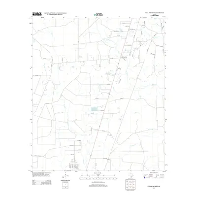
2012 Map of Call Junction
USGS Topo · Published 2012About this map
Call Junction serves as the central hub of this East Texas landscape, where the convergence of rural routes and the RR 1 corridor defines the local infrastructure. The terrain is intricately carved by a network of waterways, including the winding course of Cypress Cr and Nichols Cr, which flow through a region historically shaped by the timber and railroad industries. Small settlements such as Le Verte and Forbes are anchored by an extensive system of county roads, many bearing descriptive or family names like Clock Ranch Rd and Beat Hard Rd. This 2012 survey captures the modern rural layout of Jasper County, illustrating how contemporary transit lines still follow the paths of older community centers and creek drainages like Deer Cr and Red Bank Cr.
Find a feature on this map
76 named features on this map. Tap any name to fly to it.
Don’t see what you’re looking for? This feature index may not catch every label — zoom into the map to look around manually.
Map Details
Editions of this 2012 Call Junction Map
This is the sole edition of this map. No revisions or reprints were ever made.
Other maps of this area

1952 · Lake Charles
USGS Topo · 1:250,000

1954 · Lake Charles
USGS Topo · 1:250,000

1954 · Beaumont
USGS Topo · 1:250,000

1955 · Silsbee
USGS Topo · 1:62,500

1955 · Bessmay
USGS Topo · 1:62,500

1957 · Beaumont
USGS Topo · 1:250,000

1958 · Spurger
USGS Topo · 1:62,500

1958 · Kirbyville
USGS Topo · 1:62,500

1984 · Beaumont
USGS Topo · 1:250,000

1984 · Potato Patch Lake
USGS Topo · 1:24,000