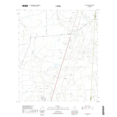
2019 Map of Call Junction
USGS Topo · Published 2019About this map
Call Junction serves as the primary focal point of this East Texas landscape, where the convergence of road networks and natural drainage defines the local geography. Situated within Jasper County, the area is characterized by a dense system of seasonal and perennial waterways, including the winding Cypress Cr and Nichols Cr. To the south, the small community of Le Verte sits near the crossing of Deer Cr, illustrating the typical settlement pattern of the region where small hamlets emerged along transport corridors and near water sources. The map clearly delineates the Jasper Co Newton Co boundary line, providing a precise reference for those researching land ownership or local history along this jurisdictional divide. Dozens of county roads, such as Co RD 604 and FM 1004 RD W, create a grid that navigates around various wetlands and branches, including Big Br and Slaydons Cr.
Find a feature on this map
70 named features on this map. Tap any name to fly to it.
Don’t see what you’re looking for? This feature index may not catch every label — zoom into the map to look around manually.
Map Details
Editions of this 2019 Call Junction Map
This is the sole edition of this map. No revisions or reprints were ever made.
Other maps of this area

1952 · Lake Charles
USGS Topo · 1:250,000

1954 · Lake Charles
USGS Topo · 1:250,000

1954 · Beaumont
USGS Topo · 1:250,000

1955 · Silsbee
USGS Topo · 1:62,500

1955 · Bessmay
USGS Topo · 1:62,500

1957 · Beaumont
USGS Topo · 1:250,000

1958 · Spurger
USGS Topo · 1:62,500

1958 · Kirbyville
USGS Topo · 1:62,500

1984 · Beaumont
USGS Topo · 1:250,000

1984 · Potato Patch Lake
USGS Topo · 1:24,000