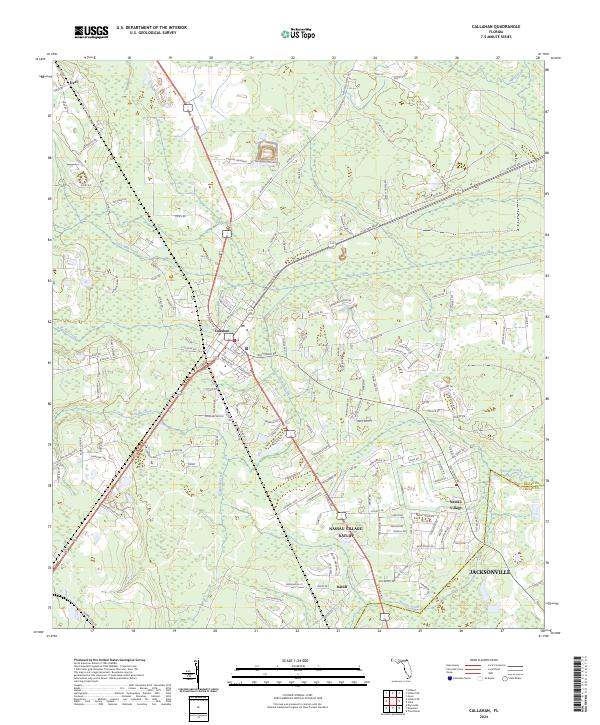
2024 Map of Callahan
USGS Topo · Published 2024About this map
The town of Callahan serves as a central hub in this modern Nassau County landscape, where the convergence of major transit corridors like N Ocean Blvd and Kings Rd dictates the local geography. The map captures a mix of established residential pockets and the rural-suburban interface typical of Northeast Florida, with the northern reaches of Jacksonville extending into the southern portion of the quadrangle. Significant water systems, including Thomas Creek and Alligator Creek, wind through the low-lying terrain, defining property boundaries and natural drainage patterns.
Find a feature on this map
153 named features on this map. Tap any name to fly to it.
Don’t see what you’re looking for? This feature index may not catch every label — zoom into the map to look around manually.
Map Details
Editions of this 2024 Callahan Map
This is the sole edition of this map. No revisions or reprints were ever made.
Other maps of this area

1917 · Cambon
USGS Topo · 1:62,500

1917 · Hilliard
USGS Topo · 1:62,500

1918 · St Marys
USGS Topo · 1:62,500

1918 · Cambon
USGS Topo · 1:62,500

1918 · Jacksonville
USGS Topo · 1:62,500

1919 · St Marys
USGS Topo · 1:62,500

1919 · Hilliard
USGS Topo · 1:62,500

1948 · Jacksonville
USGS Topo · 1:250,000

1950 · Trout River
USGS Topo · 1:24,000

1957 · Jacksonville
USGS Topo · 1:250,000