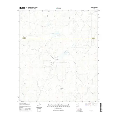
2016 Map of Callan
USGS Topo · Published 2016About this map
Callan sits at the heart of this landscape where the Concho and Menard County line divides the rolling Edwards Plateau. Water management is a defining characteristic of the area, evidenced by the presence of Lockett Lake and the Soil Conservation Service Site 19 and 18a Reservoirs. These features, along with Chapman Draw and various creek branches like Reubes Creek and Fountain Creek, illustrate the local efforts to capture and redirect runoff in this semi-arid region. For those researching family history in the area, the Loveless Cemetery serves as a small but significant landmark near the northern boundary. The road network, including Callan Number One Road and Kitchens Road, highlights the connectivity between isolated ranching properties and the central settlement.
Find a feature on this map
20 named features on this map. Tap any name to fly to it.
Don’t see what you’re looking for? This feature index may not catch every label — zoom into the map to look around manually.
Map Details
Editions of this 2016 Callan Map
This is the sole edition of this map. No revisions or reprints were ever made.
Other maps of this area

1892 · Eden
USGS Topo · 1:125,000

1896 · Eden
USGS Topo · 1:125,000

1954 · Brownwood
USGS Topo · 1:250,000

1954 · Llano
USGS Topo · 1:250,000

1955 · Llano
USGS Topo · 1:250,000

1956 · Llano
USGS Topo · 1:250,000

1960 · Melvin
USGS Topo · 1:24,000

1970 · Callan
USGS Topo · 1:24,000
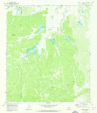
1970 · Needle Creek
USGS Topo · 1:24,000
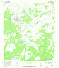
1970 · Eden
USGS Topo · 1:24,000