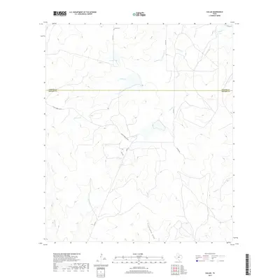
2019 Map of Callan
USGS Topo · Published 2019About this map
Loveless Cem stands near the northern boundary of this Texas rangeland, situated along Co RD 3615 just south of the line between Concho and Menard Counties. The landscape is defined by an intricate network of intermittent waterways and drainage features, including the winding course of Reubes Cr and the prominent Chapman Draw. Lockett Lake provides a localized water source in an area otherwise characterized by these seasonal creek beds such as Fountain Cr and Needle Cr. The infrastructure reflects a rural ranching economy, with named routes like Callan Number One Rd, Klett Rd, and Callan Ln providing access to the interior. Topographic variations are subtle but significant, with the terrain falling away toward the south into W Scalp Cr and E Scalp Cr.
Find a feature on this map
17 named features on this map. Tap any name to fly to it.
Don’t see what you’re looking for? This feature index may not catch every label — zoom into the map to look around manually.
Map Details
Editions of this 2019 Callan Map
This is the sole edition of this map. No revisions or reprints were ever made.
Other maps of this area

1892 · Eden
USGS Topo · 1:125,000

1896 · Eden
USGS Topo · 1:125,000

1954 · Brownwood
USGS Topo · 1:250,000

1954 · Llano
USGS Topo · 1:250,000

1955 · Llano
USGS Topo · 1:250,000

1956 · Llano
USGS Topo · 1:250,000

1960 · Melvin
USGS Topo · 1:24,000

1970 · Callan
USGS Topo · 1:24,000
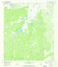
1970 · Needle Creek
USGS Topo · 1:24,000
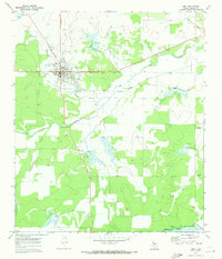
1970 · Eden
USGS Topo · 1:24,000