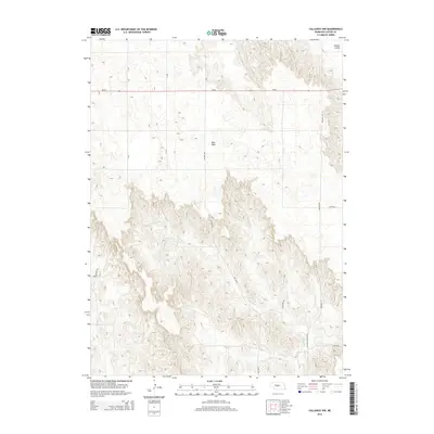
2014 Map of Callaway NW
USGS Topo · Published 2014About this map
West Table dominates the high, flat geography of this portion of Custer County, representing the characteristic plateau landscapes of central Nebraska. This 2014 survey illustrates the transition from these elevated tables into the more complex drainage systems below, specifically where the headwaters of Spring Cr begin to carve through the terrain. To the northeast, the land drops away into the Ortello Valley, a distinct geographic depression contrasted against the surrounding uplands.
Find a feature on this map
12 named features on this map. Tap any name to fly to it.
Don’t see what you’re looking for? This feature index may not catch every label — zoom into the map to look around manually.
Map Details
Editions of this 2014 Callaway NW Map
This is the sole edition of this map. No revisions or reprints were ever made.
Other maps of this area

1948 · Linscott
USGS Topo · 1:62,500

1950 · Linscott
USGS Topo · 1:62,500

1951 · Callaway NW
USGS Topo · 1:24,000

1951 · Anselmo
USGS Topo · 1:24,000

1951 · Merna
USGS Topo · 1:24,000

1951 · Anselmo SW
USGS Topo · 1:24,000

1951 · Callaway SE
USGS Topo · 1:24,000

1951 · Callaway
USGS Topo · 1:24,000

1954 · North Platte
USGS Topo · 1:250,000

1955 · Broken Bow
USGS Topo · 1:250,000